cdcollura
EF5
Good day all,
LOL ... This is my first storm "chase" of 2009 - May 20 in FL (I was already supposed to be chasing in the US Plains)!
Chased the slight risk in southern Florida today with some funnel clouds / severe-warned storms (earlier associated with waterspouts) encountered, but not much else.

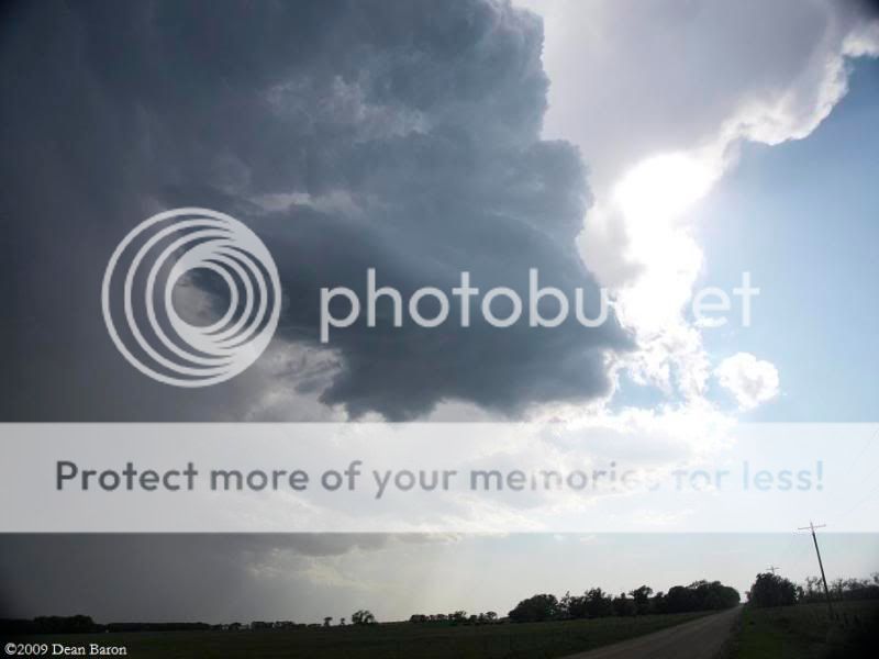
Above: Interesting little cell south of South Bay, FL in Palm Beach County (2 PM).

Above: Small (shear) funnel (just right of center of picture) on sheared updraft in western Palm Beach County, FL (2:15 PM).

Above: Multicell severe storm about the time it was producing 58 MPH (measured) winds near Belle Glade, FL (just before 2 PM).

Above: Not sure what this is (2:10 PM) looking east towards back-side of storm updraft in Palm Beach County, FL.
Conditions causing the storms were a region of convergence (surface trough axis), heading, boundary interestions, and an upper-level low pressure system.
LOL ... This is my first storm "chase" of 2009 - May 20 in FL (I was already supposed to be chasing in the US Plains)!
Chased the slight risk in southern Florida today with some funnel clouds / severe-warned storms (earlier associated with waterspouts) encountered, but not much else.

Above: Interesting little cell south of South Bay, FL in Palm Beach County (2 PM).

Above: Small (shear) funnel (just right of center of picture) on sheared updraft in western Palm Beach County, FL (2:15 PM).

Above: Multicell severe storm about the time it was producing 58 MPH (measured) winds near Belle Glade, FL (just before 2 PM).

Above: Not sure what this is (2:10 PM) looking east towards back-side of storm updraft in Palm Beach County, FL.
Conditions causing the storms were a region of convergence (surface trough axis), heading, boundary interestions, and an upper-level low pressure system.


