• While Stormtrack has discontinued its hosting of SpotterNetwork support on the forums, keep in mind that support for SpotterNetwork issues is available by emailing [email protected].

5/20/07 REPORTS: SD

Joined
Mar 21, 2004
Messages
1,508
Location
Urbana, IL
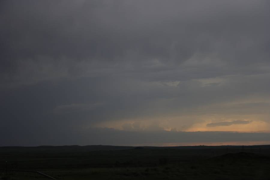
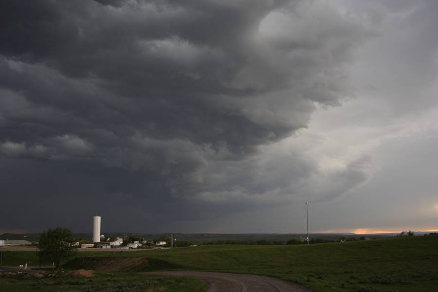
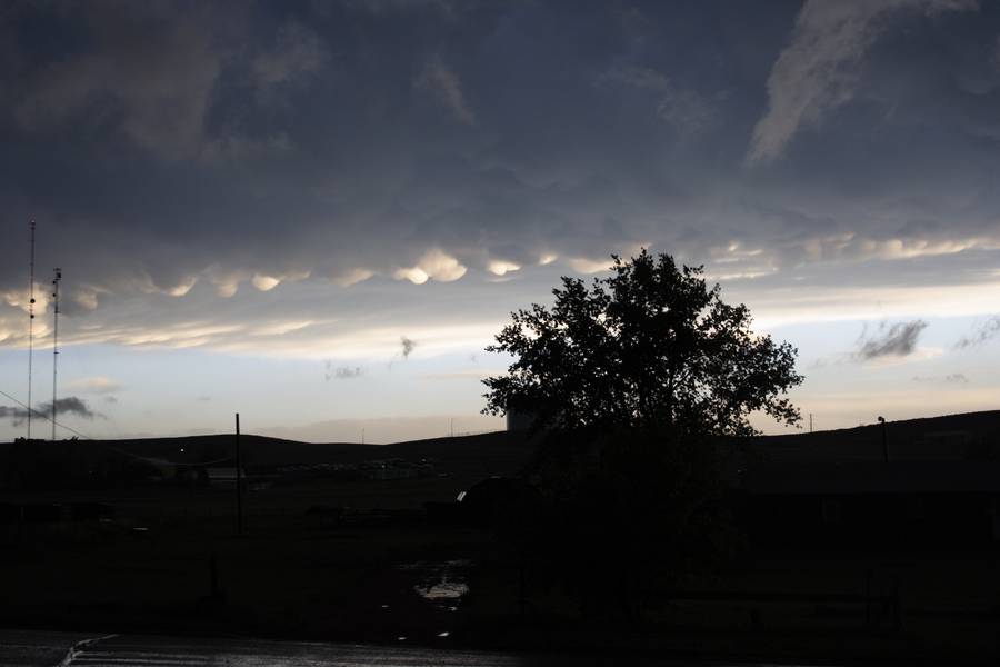
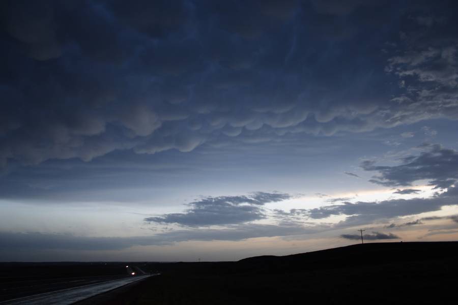
Well, as Mark and I thought the upslope game near Rapid City, SD was the best show in town. We made it there about an hour ahead of time and watched towers go up and down before one really took off. It died and surged a little more briefly taking on supercellular characteristics before fizzling. Another storm blew up to it's south and this one really took of. Wrapped itself up really nice and became a nice little LP supercell that wound up producing two mid-level funnel clouds. Eventually south of Rapid City other storms developed in the area and they all merged into a linear complex that produced quite a display of blowing dust and gustnadoes as we chased it into the Bad Lands before letting it all go to get into position for tomorrow.

rapidcity.jpg


DSC03746.jpg
 
Rapid City LP

rapidcitywallcloud.jpg

rapidcitysupercellsmall.jpg


We were on the Rapid City LP as well, having targeted western South Dakota/southeast Montana after an overnight stay in Chamberlain, SD. The top photo is a video grab of the wall cloud that formed over Rapid City as we headed south through the eastern part of the city on U.S. 79. We saw the mid-level funnels and encounterd hail up to nickel size, with a few quarter-sized chunks thrown in, as we stayed just south of the precipitation core.

We (Dave Carroll, me, and the 10 other members of our Virginia Tech/North Carolina-Asheville et al. team) also didn't follow the storm as it mushed into an MCS in the Badlands, opting for Mount Rushmore instead ... but we did catch back up to the MCS and its lightning show as we arrived at our overnight lodging in Murdo, SD, where we will try to figure out where to head the next couple of days.

For more on Sunday's intercept and our group's two-week storm chase trip, see my weather blog at Roanoke.com.
 
Last edited by a moderator:
My group missed that LP supercell. (Gorgeous pics by the way!) We did end up getting on a marginal supercell east of the Badlands. That precip core was extremely intense! And I loved the continuous thunder in the updraft region. It was a beautifully rounded base at times. Rotation was very slow due to the lack of upper support. The meso produced a few briefly rotating wall clouds and even tried to funnel a few times. Then the precip ramped up and we got caught in the core. Heavy rain and up to marble sized hail pummeled our van, and the CG's were coming down all around. It was a fun chase.

Now in Valentine, NE, hopefully in good position for tomorrow's target somewhere here in Western Nebraska!:cool:
 
Spent a few hours doing a scenic loop north of Sturgis and back through Belle Fourche before the signs finally convinced me the line of storms forming over Rapid City was the main event. Duh. Models had shown low level inflow to be a bit better in the Badlands area, and, as I was rolling east on I-90, the outflow boundaries from these storms clear on radar were lagging in that area. This pointed me the target.

Entered the National Park at the east entrance (before 5 p.m. = -$15) and continued south from Interior on SD44 to its eastward turn near Potatoe Creek, then up a gravel road a mile or two to the top of a hill with an all-around view. Clear view of the meso southwest and the core that pummeled David. The storm table was reporting a TVS for about 20 minutes on this cell.

As David says, the rotation was rather slow and high-based, and there were some scuddy attempts at funnel clouds. After about fifteen minutes watching on the hill the storm began to collapse in my direction, so I scooted back north, driving west on the park road taking low-sun shots of mammatus over badlands, etc. Very nice day, overall!
 
Can we perhaps change this topic to include NE Wyoming thanks:)

In general, the previous day's cold outflow impacted on the majority of southern Montana. Starting the day in extreme eastern Montana, we dived south obviously missing the supercell coming out of Rapid City, South Dakota. But that was not our target. We stopped for data at Belle Fourche South Dakota and decided that the extreme eastern Montana/Wyoming border region was the most interesting.
Setting out along I-90, we headed west in the direction of Gillette, Wyoming. As we neared, we stopped on a hill to observe some nice sructure. My interest lay in an interesting feature to our west - beaver tail? Whatever it was it deserved investigation. As we decided to head towards it - a tornado warning was issued. Unfortunately, this region is a radar hole and the tornado warning was issued based on a tornado report. We got to Gillette as the base passed over. No tornado but it did coincide with a nice updraft. The mammatus was quite nice - Andrej enjoyed the spectacle.
Some pictures: (Click thumbs for enlarged images)
Inflow feature

Merely a picturesque scene - distant inflow more interesting

Mammatus near Gillette, Wyoming

 
Last edited by a moderator:
Was on the same storm that Jimmy was on although we had a view of it passing over the 212 just south of Alzada, in Wyoming.

We ment up with a few other international chasers in Broadus.


Back
Top