• While Stormtrack has discontinued its hosting of SpotterNetwork support on the forums, keep in mind that support for SpotterNetwork issues is available by emailing [email protected].

5/19/07 REPORTS: MT / ND / MN / SD / NE

  • Thread starter Thread starter stephanieschweitzer
  • Start date Start date

stephanieschweitzer

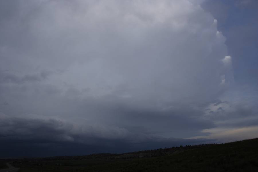
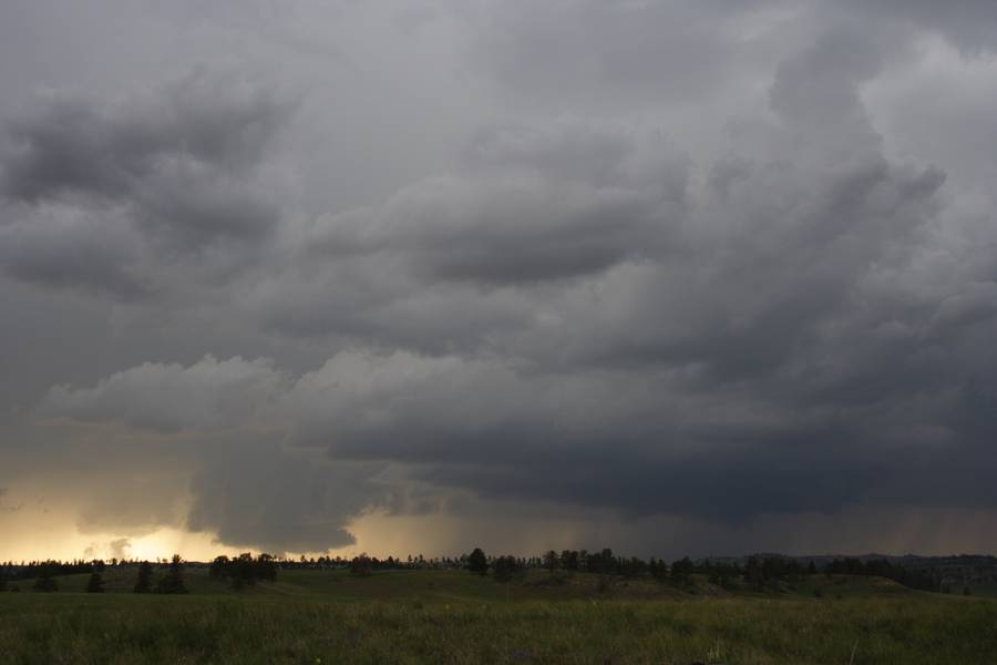
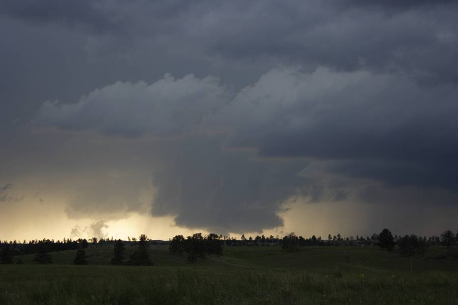
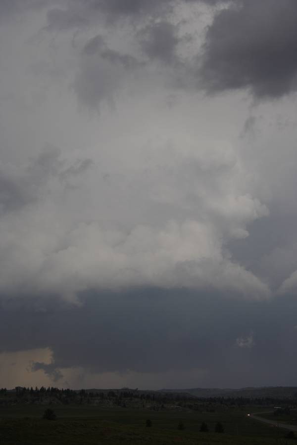
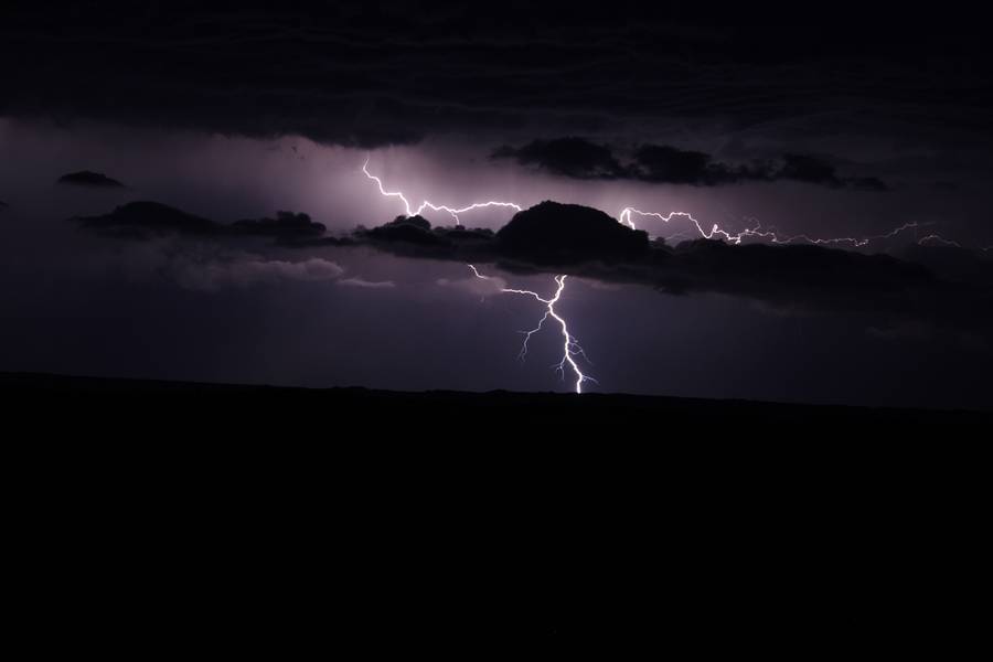
My fishing was interupted today by some quick forming storms that were moving east across Southern MN this evening. We packed it up and headed in the direction of a really well formed storm just SW of Mankato. We got just about 3 Miles east of Mapleton and could see the hail bands. The hail was between Nickle and Quarter in size, and accompanied by some intense rain and strong wind gusts. Fields were flooded spilling over into the ditches and filling the country roads. Saw a few houses with water up to their doors just south of Mapleton at about 7:30 PM. Chased a storm to around Long Lake for fun...
May19_60.jpg

May19_59.jpg

May19_71.jpg

Mapleton Streets around 7:30 PM.
May19_69.jpg

May19_66.jpg
 
Here are some quick pics from the Montana chase 19th May 2007 - Macca can do the usual blurb of our chase.
After the weakening cell, these storms literally exploded along the boundary and developed at least one though probably more separate mesocyclones (need to verify via radar)

Suspicious bases beneath two strong updrafts. All photographs taken near Roundup, Montana.


Another updraft and suspcious base

Lightning on the way to Miles City, Montana - one of the lightning pictures from a short shooting opportunity

Regards,
Jimmy Deguara
 
We intercepted a nice looking mesocyclone a bit east of Roundup, MT...its probably the same cell Jimmy has on the first pic, just from the different angle. It was amazing how explosive the updrafts were, towers were poping up like nuts! Here are some preview shots:

- explosive updraft:
IMG_4081.jpg


- impressive structure a bit later...it was trying with a wall and lil' funnel at one time, too:
IMG_4111.jpg


- rainbow at the end:
IMG_4137.jpg


We ended up in Glendive now, tomorrow probably targeting southeast MT again I guess.

More on my website in few days: http://www.weather-photos.net/gallery/index.php?cat=12
 
Adding Nebraska to the list ... we targeted south-central South Dakota where we expected the nearly stationary front to trigger some scattered, possibly marginally severe convection. It sagged farther south and fired storms in northern Nebraska, some of which became severe. We encountered marble-sized hail west of O'Neill and basically just got some picturesque cume shots. Our first storms in 4 days and hopefully an appetizer to a larger course this coming week.

More on our chase trip on my blog at Roanoke.com.
 
Last edited by a moderator:
Back
Top