Good day all,
Good job Raymond, and anyone on the Arcadia, IN storm!!
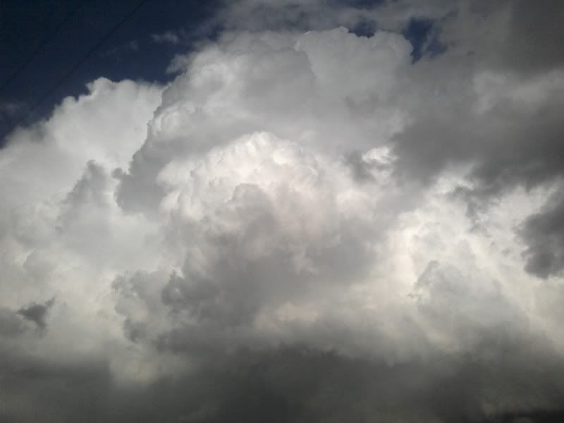
Yup - I headed out kinda late after work from Dayton at around 6 PM since the storms were not too far from me. I was on the storm just southeast of the Arcadia (Madison county) storm. So I was not too far, the picture below could have been part of that storm system.
My chase log is below...
Summary: April 11, 2007 was pretty much a short "impromptu" chase along Interstate 70 from Southwestern Ohio into East-Central Indiana to intercept a line of strong and severe thunderstorms. The chase began leaving Dayton, Ohio at about 6 PM and heading west into Indiana along Interstate 70 after looking at radar and seeing a developing line of severe thunderstorms moving across Indiana near Indianapolis. An area of light to moderate rain and cool temperatures, ahead of a warm front, moved off to the northeast and a clear slot allowed limited heating in a region with very cold air aloft.
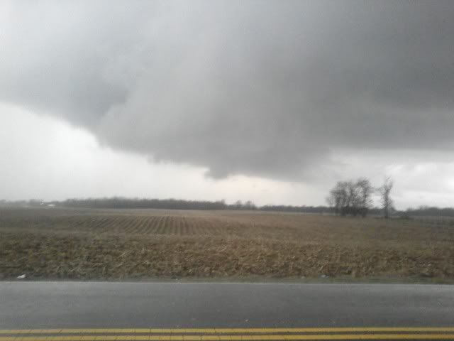
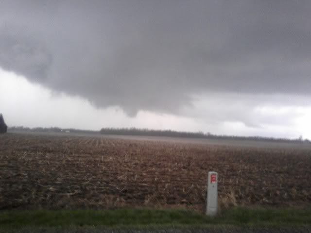
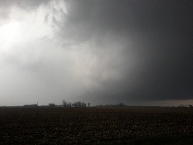
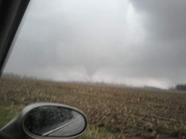
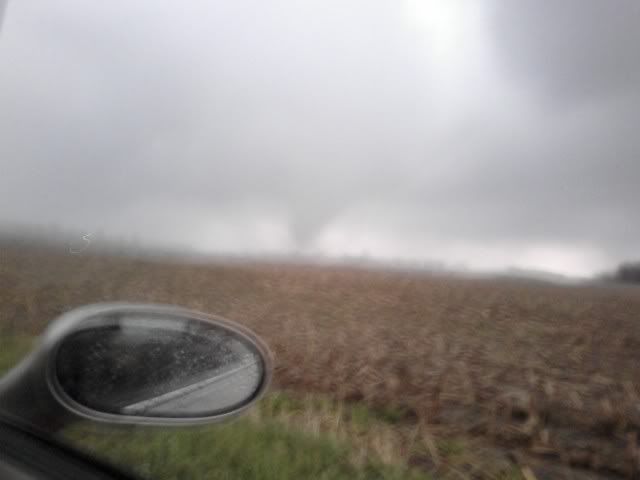
A severe thunderstorm watch was issued for parts of east-central Indiana and parts of southwestern Ohio. These were actually two watch areas, watch 126 valid until 11 PM EDT and another watch 127 farther east valid until 1 AM EDT. The SPC outlook called for a slight risk centered over east-central Indiana with a 5% tornado, 15% damaging wind, and 15% hail possibility. A severe thunderstorm was encountered in Wayne County, Indiana at about 7 PM along Interstate 70. The storm had winds strong enough to blow over a semi-trailer headed westbound. The storms moved rapidly northeast and could not be intercepted more than once. A tornado warned storm also was present in Madison County, about 15 miles to the northwest of the severe storm intercepted. The storm producing the tornado was not observed. After the quick intercept, a fuel stop was done and the chase finished by heading back east into Dayton, Ohio. Total mileage was about 120 miles.
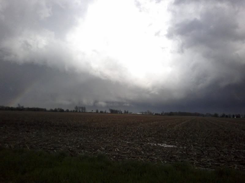
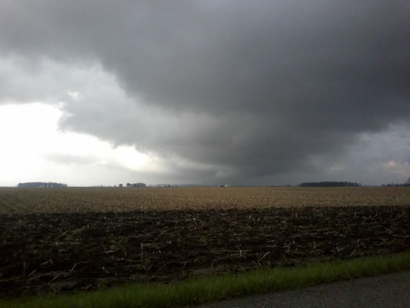
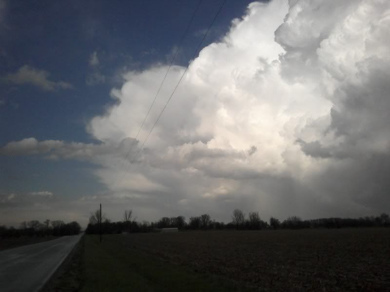
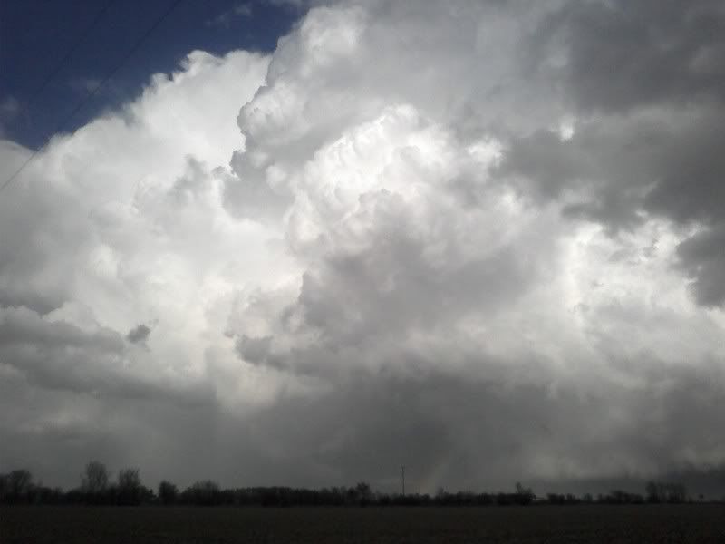
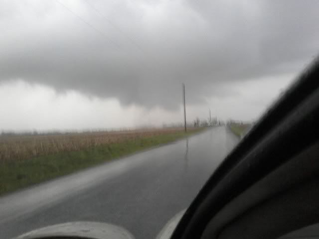
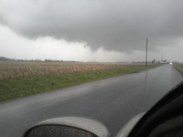
April 11, 6:30 - 7:00 PM: Penetration of a severe thunderstorm in Wayne County, Indiana along Interstate 70. The storm was a bow-echo type structure in a multi-cell line of strong and severe thunderstorms. Lightning, torrential rains, winds near or exceeding 60-MPH, and small hail were observed with this storm. This storm also produced an impressive shelf cloud associated with its gust front. The strong outflow winds of the storm also overturned a semi trailer headed westbound on Interstate 70 in Wayne County. The storms were caused by a low-pressure trough, approaching strong cold front and strong surface low, and a strong upper-level low-pressure area (differential PVA and very cold air aloft). A 2007 Ford Focus was used to chase the storms. Documentation was still digital photos and HD video. A severe thunderstorm watch was also valid for this area until 11 PM EDT.
Full chase log can be found at the link below...
http://www.sky-chaser.com/mwcl2007.htm#APR11
Congrats to all who went out today on such a "seemingly marginal" day ;-)