Dan Robinson
EF5
Well, this is a first: a tornado during a winter storm trip. I originally embarked on this trip to cover the freezing rain from Kansas into Nebraska on Friday, ending up in Omaha for a high-impact event there (that video is here). Thanks to the chaos in Omaha, I did not get done shooting there until 10pm, quashing my original plans of heading to eastern Iowa for the ice storm on Saturday. With the late hour, I would not have time to sleep and make it to southeast Iowa at the early morning hour of the storm's peak. So, I turned my attention to a narrow zone of low-level CAPE models were pretty insistent on developing into the core of the main low in central Missouri, thanks to a dry slot wrapping in. The first visible satellite images confirmed this was indeed happening, so I headed south to Kansas City to await this development.
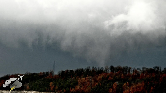
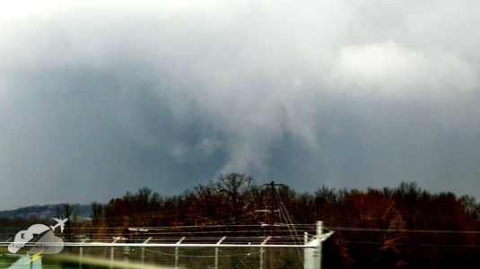
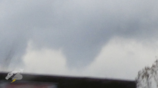
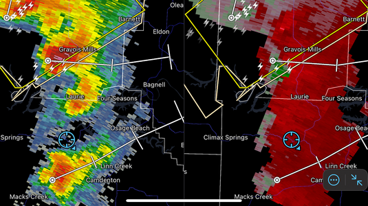
The first blips showed up southwest of Clinton, so I headed in that direction, intercepting the first cell at Deepwater. I was surprised to see very healthy storms with frequent lightning and copious pea-sized hail. Some hints of RFD were already evident in these storms, but I didn't see anything tighten up at that stage. Roads in this area are tricky, so I had to go back to Clinton and the then east to intercept the newest storm. This one began showing a broad low-level circulation on radar, which I intercepted on the east side of the town of Tightwad (yes, that's its real name). Despite the meager couplet on radar, I was surprised to see a tight circulation and intermittent funnel. As soon as I stopped, some brief wisps of condensation reached the ground. I made a close intercept on Highway 7 east of town, zero-metering the south side of the very weak circulation as it audibly roared through the trees north of the road.
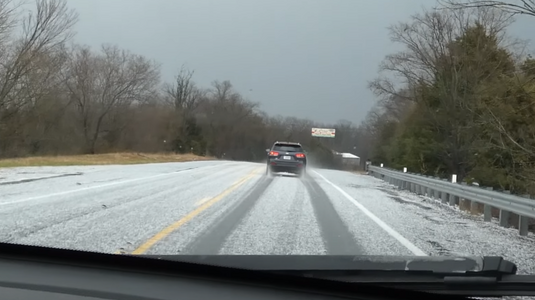
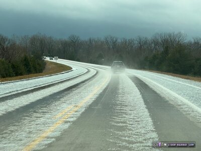
I moved east to get back into position, but was slowed significantly from the next storm in the line dropping more than an inch of small hail on the town of Warsaw.
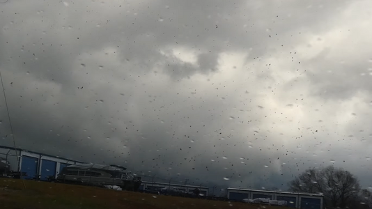
I didn't get back into position until Versailles, where I managed one more pass of an active supercell. This one was much less organized with no low-level meso evident. After this storm weakened, I was out of road options for further intercepts.
This is the video from that day (main camera and dashcams):
The first blips showed up southwest of Clinton, so I headed in that direction, intercepting the first cell at Deepwater. I was surprised to see very healthy storms with frequent lightning and copious pea-sized hail. Some hints of RFD were already evident in these storms, but I didn't see anything tighten up at that stage. Roads in this area are tricky, so I had to go back to Clinton and the then east to intercept the newest storm. This one began showing a broad low-level circulation on radar, which I intercepted on the east side of the town of Tightwad (yes, that's its real name). Despite the meager couplet on radar, I was surprised to see a tight circulation and intermittent funnel. As soon as I stopped, some brief wisps of condensation reached the ground. I made a close intercept on Highway 7 east of town, zero-metering the south side of the very weak circulation as it audibly roared through the trees north of the road.
I moved east to get back into position, but was slowed significantly from the next storm in the line dropping more than an inch of small hail on the town of Warsaw.

I didn't get back into position until Versailles, where I managed one more pass of an active supercell. This one was much less organized with no low-level meso evident. After this storm weakened, I was out of road options for further intercepts.
This is the video from that day (main camera and dashcams):

