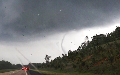
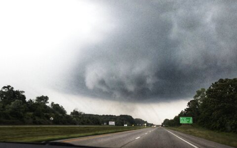
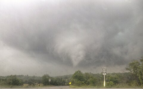
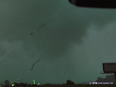
Just wow!! What an amazing storm chase day. I had this day in mind when I stopped in Tulsa for the previous night. There was chase potential in western and central Missouri. The atmosphere was very unstable across Missouri with decent upper level support after recovering from previous storms. I expected isolated supercells to develop and move eastward. The HRRR was showing isolated storms in southwest Missouri by the afternoon. My biggest concern was veering (from the southwest) surface winds. Storms would also track over difficult chase territory. That alone scared off many storm chasers. After years of chasing in Virginia, I wasn’t as concerned. The Storm Prediction Center had a 5% and a bit of a 10% tornado risk for far southeastern Missouri associated with an MCS. My target area was just outside this risk area to the southeast of Joplin. I was chasing alone since my friends were heading home.
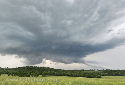
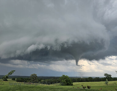
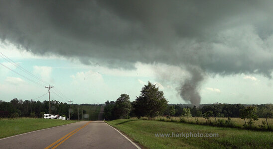
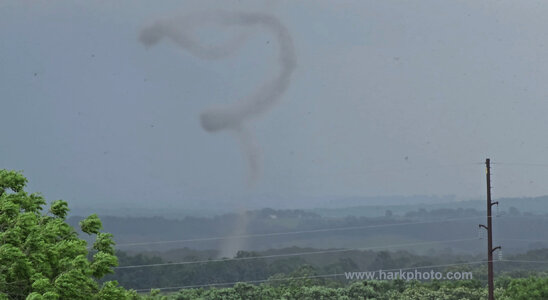
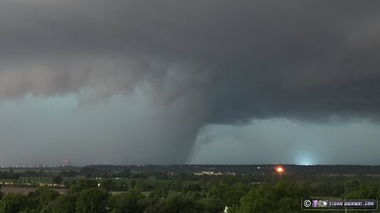
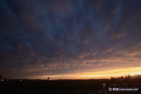
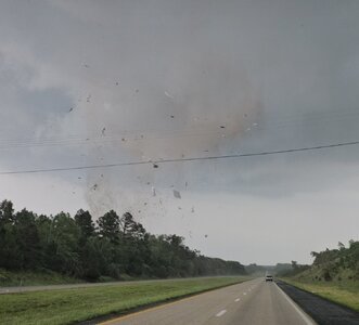
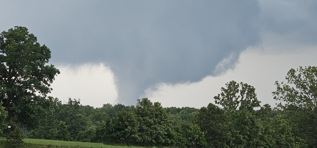
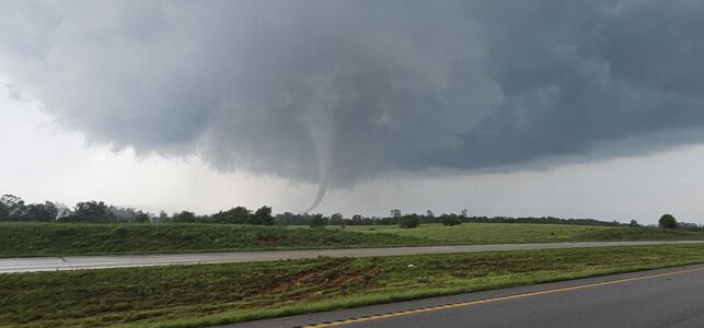
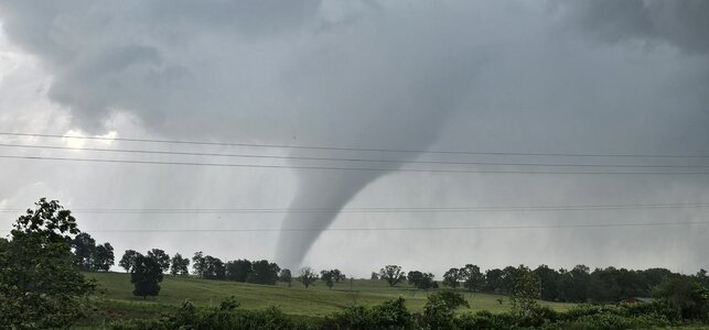
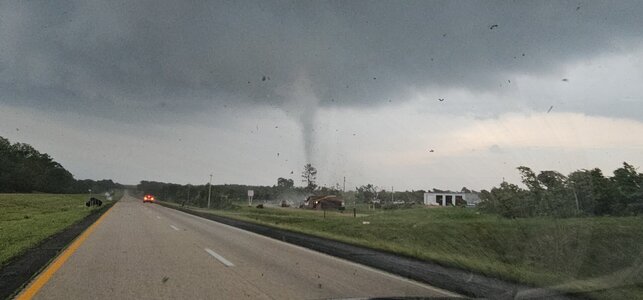
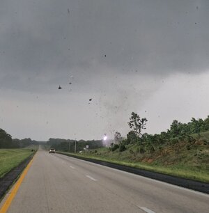
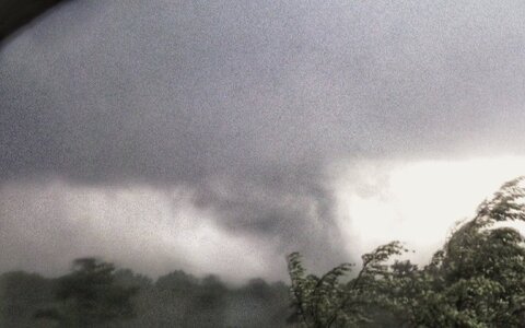
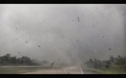
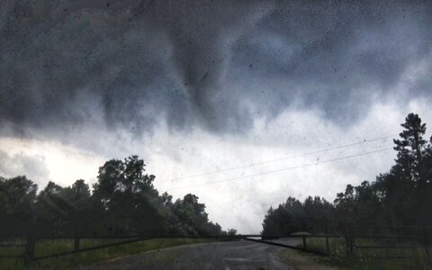
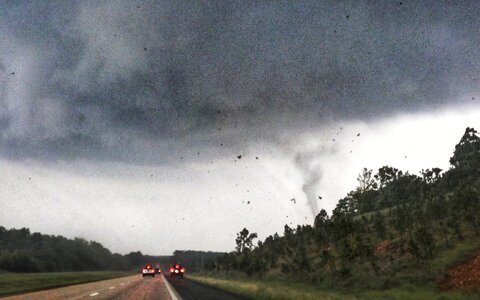
I left Tulsa with the intent of having lunch in Joplin and dropping south. Not liking the surface winds, I shifted eastward to Springfield to have lunch. At that point, I was torn between shifting farther east or waiting. The HRRR was still showing isolated storms in southeast Missouri and others forming to the north east along the interstate. I wanted to keep all options open. By 2:30 PM, I was seeing agitated cumulus and developing towers to the east and north of Springfield. I really liked the appearance of the sky and decided to wait. Eventually two isolated storms developed just west of Springfield. There were some others to the north. I liked the position of the easternmost storm that would track eastward just north of Springfield. I waited in Stafford by I-44 as the storm slowly developed and pushed to my location. It already had an outflowish appearing wall cloud at 3:45 PM. I wasn’t impressed,but it would move into a better environment. I drove to Marshfield and turned east on 38. Fortunately, the road went generally southeast, and I could keep in front of the eastward moving storm. Road options were limited. I also had to be careful as the two lane road was winding and hilly. Signs warned of Amish, and I did pass one family in a horse and carriage. The storm kept producing linear non-rotating wall clouds. To the north, there was a similar but a bit more organized storm. I was committed at this point. I also liked that there were no storms to my storm’s immediate south to compete. While chasing, I only encountered on eother storm chaser. No chaser traffic or competing for viewpoints. My storm started showing inflow features by 4:20 and slowly strengthened. My route on 38stair-stepped mainly to the southeast through the tiny town of High Prairie. Cellphone data was getting a bit spotty, but I could still rely on the Baron XM satellite data on my laptop. The storm to the north was rotating. Mine was looking good visually and was the southernmost storm with unimpeded flow. Another storm did later develop to the south. At4:51 PM, my storm was rapidly strengthening and looking amazing visually with striations and inflow bands. At that point, I had driven through the town of Hartville and was continuing on 38. The road was now curving to the northeast.The storm was getting closer, and I was experiencing some light rain and hail. The hail was getting bigger. My storm was now rotating, but the mesocyclone was south of me. I usually prefer to be south of the mesocyclone which allows for a clearer view out of the rain and hail. I could visualize the mesocyclone by 5:13 PM. No tornado yet. I had passed through the towns of Rails and Graff. There were occasional roads to the south, but I wouldn’t be able to follow the storm eastward. At 5:16, I could see a tornado to my south. Not knowing the local NWS office number, I called 911 and reported the tornado. It was near and south of Bendavis. I could have continued east on 38, but I saw an opportunity to get a better view of the tornado. There was a south road (MM) and the tornado was expected to cross that road. I could see the tornado and had an escape option. I turned south as the tornado approached from the east. It was rapidly rotating and kicking up leaves and other debris. I could hear the roar of the tornado. I drove south, careful not to drive into the tornado. I also watched for signs of a turn to the northeast that would take the funnel closer to me.The sun came out and illuminated the area. The funnel itself twisted, and I could see multiple vortices. I turned east on a long gravel driveway to follow the tornado. The driveway led to a house and I was scared the tornado would hit the house. The tornado passed to the south, though it damaged a shed and probably annoyed a bunch of cows. The driveway stopped at a house on a low hill with a commanding view of the east. The tornado continued east, with a beautiful white collar cloud. The entire mesocyclone was visible. A rainbow briefly appeared to one side. At times, the tornado vortex twisted and turned while stirring up debris. It continued eastward for a longtime before gradually dissipating. After the passage of the tornado, I met the very nice owner of the house. We chatted for a while before I continued east.Other storms were developing in the area. I sighted a little shear funnel by a large cumulus congestus cloud. In the town of Houston, Missouri, I arrived just as the tornado sirens started at 6:23 PM. Another storm was approaching. I didn’t see anything on radar, and the storm appeared scary but it was basically a shelf cloud. I drove east passing through a tornado damage path in the town of Mountain View. At that point, the chase was over for me. I got a room in Popular Bluff. I hoped to make it there in an hour, but flooding and debris blocked the main road for a couple of hours. I turned back and waited at a gas station until the road was clear. I preferred waiting so that a four lane highway could be taken rather than back tracking over winding mountain roads in the dark. The storms had coalesced to a mass of storms to the east. The sky pulsated with lightning as I drove to the hotel. Driving through the Ozark mountains, I was surprised at how completely dark it was for miles. No lights, houses or anything else. Just low forested mountains.
Over all, a well-executed storm chase. Looking back, I could have launched my drone toward the tornado for a better view, but I had such a great view from the hill. Per a news report, the tornado was rated as EF-1 and lasted for about 20 minutes. It was interesting being on the storm from the early in its lifecycle through the formation of a tornado.
