John Farley
Supporter
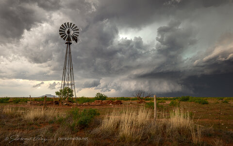
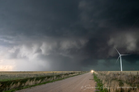
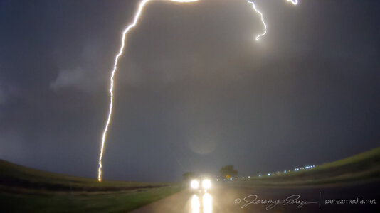
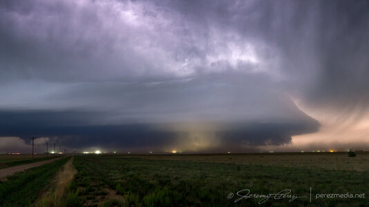
Here are a few pictures from last Wednesday, May 24, the first of my four days of storm observation/photography in eastern New Mexico. This day featured a big, powerful HP (high-precipitation) supercell that tracked from just east of Tucumcari southeastward to the Clovis area. producing a swath of 75-90+ mph wind and hail to two inches in diameter. And some tornadoes that, coming from the west as I was, I was on the wrong side of the storm to see.
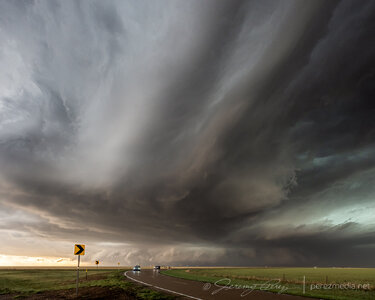
Looking east at the storm from the west edge of Tucumcari, around 5:25 p.m.:
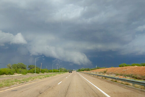
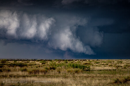
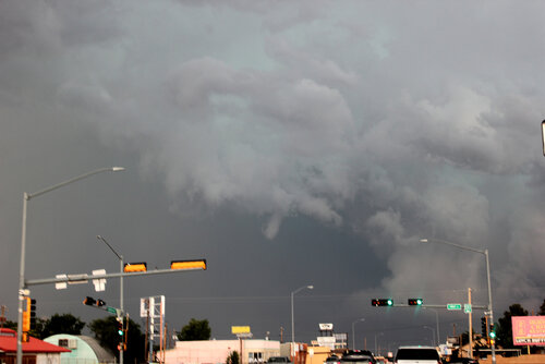
Although I was on the wrong side of the storm to see the tornadoes that occurred farther south, I did catch a small funnel cloud. This was taken looking east from Tucumcari around 5:40, just about the time a 76 mph wind gust was recorded at the Tucumcari airport, which is 7 miles east of town:
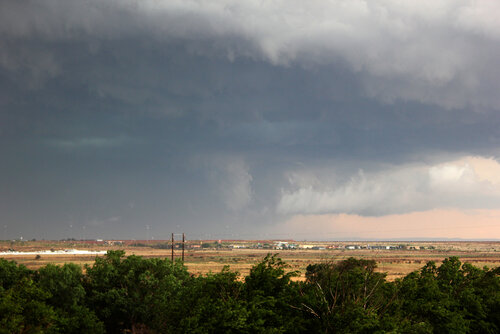
Looking southeast from Tucumcari, about 7 p.m., around the time of the tornadoes. I don't think this is one of them though, as they were likely hidden from my view by rain:
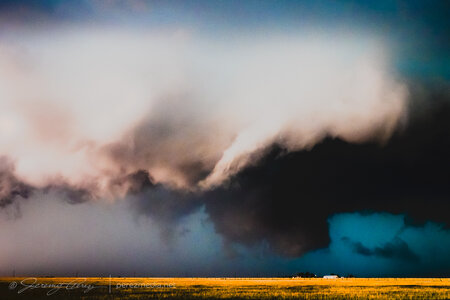
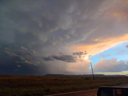
Here is a sunset storm view. This was a new storm that went up to the west of the main supercell. Picture taken looking south, from SE of Tucumcari:
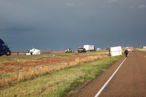
High wind blew over these semis on I-40. This happened not long after the 76 mph gust was reported at the airport, and this location is not far from the airport. The semis were going opposite directions and both got blown over at the same location:
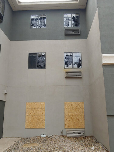
Finally, a photo taken a few days later at a motel I ended up at following a subsequent chase in Clovis. This damage was from wind-driven hail from this storm, with similar damage occurring at many locations around Clovis:
I will post a fuller report from my Web page as time permits, and will link it from here.
Looking east at the storm from the west edge of Tucumcari, around 5:25 p.m.:

Although I was on the wrong side of the storm to see the tornadoes that occurred farther south, I did catch a small funnel cloud. This was taken looking east from Tucumcari around 5:40, just about the time a 76 mph wind gust was recorded at the Tucumcari airport, which is 7 miles east of town:

Looking southeast from Tucumcari, about 7 p.m., around the time of the tornadoes. I don't think this is one of them though, as they were likely hidden from my view by rain:

Here is a sunset storm view. This was a new storm that went up to the west of the main supercell. Picture taken looking south, from SE of Tucumcari:

High wind blew over these semis on I-40. This happened not long after the 76 mph gust was reported at the airport, and this location is not far from the airport. The semis were going opposite directions and both got blown over at the same location:

Finally, a photo taken a few days later at a motel I ended up at following a subsequent chase in Clovis. This damage was from wind-driven hail from this storm, with similar damage occurring at many locations around Clovis:

I will post a fuller report from my Web page as time permits, and will link it from here.

