Ethan Schisler
EF5
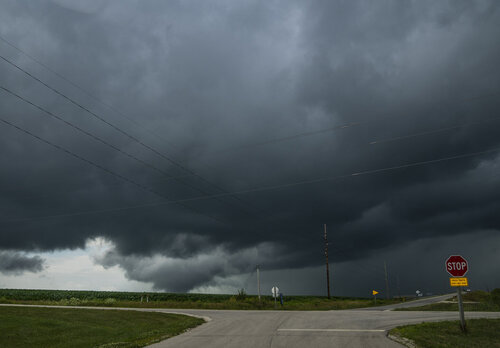
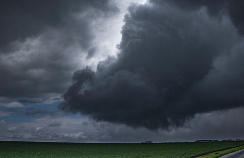
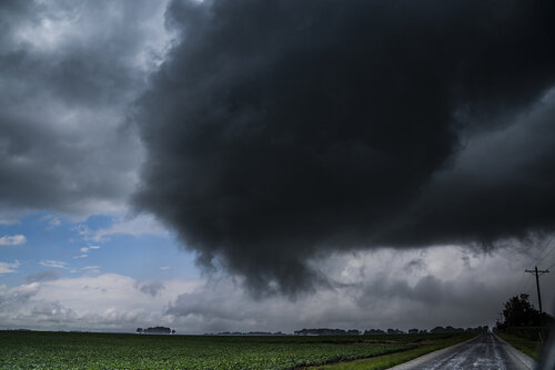
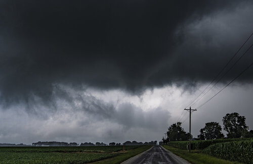
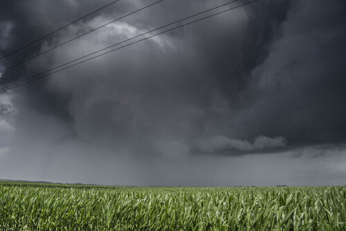
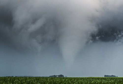
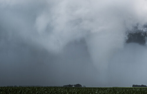
Observed a rogue tornado in Western Illinois today around 3:09-3:17pm that touched down intermittently. Left my apartment and drove around 4 miles to the storm that had fired up on a weak surface low NW of Macomb, IL. A wall cloud immediately became visible and started to slowly rotate. The rotation increased dramatically as it approached county road E 1100th street and a funnel formed. I made a call to the NWS and noted small leaves and branches being blown off some of the trees as it crossed the road. It almost fully condensed to the ground in the field next to me before dissipating south of US 336 and W of 67. A rare surprise low topped storm on a <2% tornado risk day. I managed to talk to NWS Quad Cities the entire time and was told it would be entered into DAT as an official tornado early next week. I was the only person out spotting and NWS made it clear to me that without my report and photos, nobody would have likely reported it. I had to wait for the rain to pass to get decent contrast on the tornado itself. Here are my set of shots in chronological order, I haven't bothered to do any real editing to them yet as I just wanted to get them up for the local forecast office:
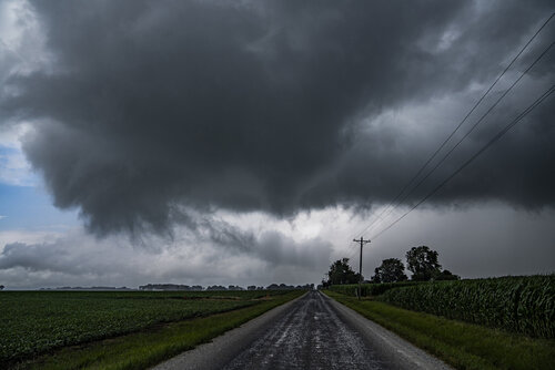
3:09PM crossing county road 1100E 4.1NW of Macomb, IL
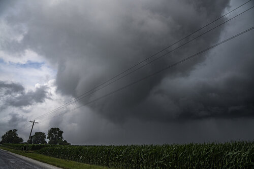
Funnel cloud growing more robust with a large occlusion overhead
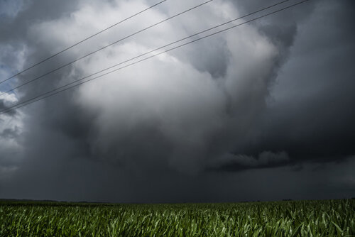
The structure of this low topped storm was amazing as the tornado started to reform to my NE.
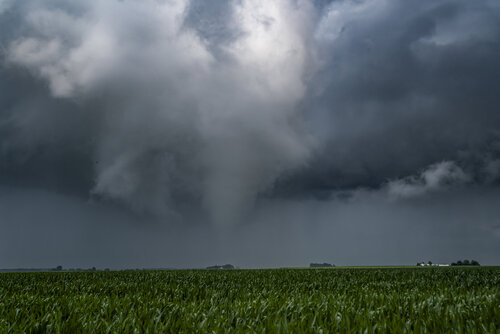
Almost completely condensed to the ground now around 3:16pm
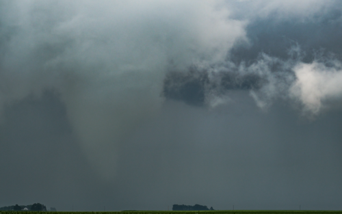
Zoomed in video still off my Sony A1
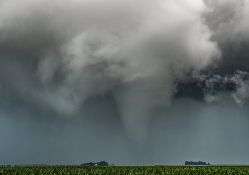
RAW photograph showing the tornado nearly fully condensing around 3:17-3:18pm. Shortly after this it totally occluded and dissipated by 3:21pm. By 3:25pm the storm itself had mostly collapsed and moved SE and was done. I made it back home by 3:45 only having drove 8 miles to see a beautiful tornado, probably my shortest tornado chase to date. I shot some more video after the last photograph, but I'll have to edit that later.

3:09PM crossing county road 1100E 4.1NW of Macomb, IL

Funnel cloud growing more robust with a large occlusion overhead

The structure of this low topped storm was amazing as the tornado started to reform to my NE.

Almost completely condensed to the ground now around 3:16pm

Zoomed in video still off my Sony A1

RAW photograph showing the tornado nearly fully condensing around 3:17-3:18pm. Shortly after this it totally occluded and dissipated by 3:21pm. By 3:25pm the storm itself had mostly collapsed and moved SE and was done. I made it back home by 3:45 only having drove 8 miles to see a beautiful tornado, probably my shortest tornado chase to date. I shot some more video after the last photograph, but I'll have to edit that later.

