JamesCaruso
Staff member
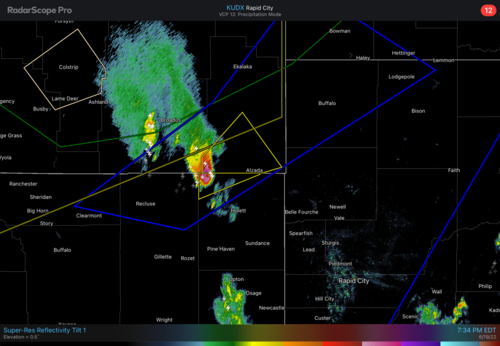
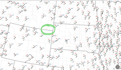
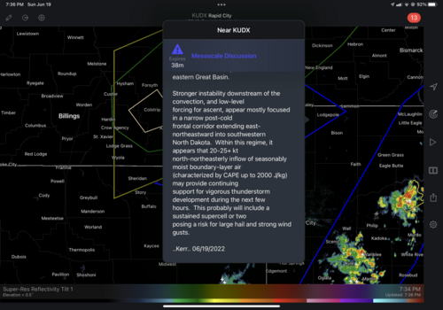
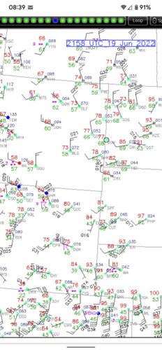
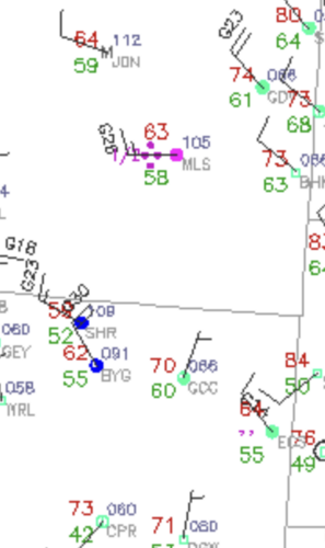
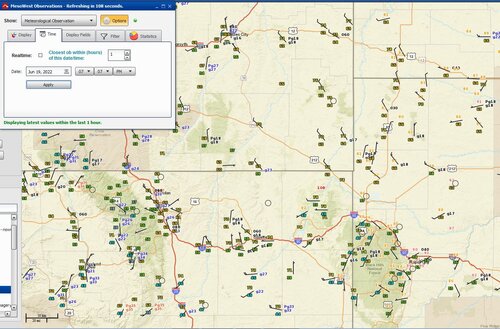
I looked only briefly at the situation on this day, but was surprised to see SPC calling for northeast surface winds in the outlooks, as I did not see this on any of the models I looked at. Neither did I see northeast winds observed on the evening surface map - yet this supercell appeared to strengthen, and SPC was still talking about north/northeast winds in the MSD. What am I missing? There is a gap in surface observations in the immediate vicinity of the storm, but looking at the obs that are available in the surrounding areas, it’s hard to see how there could have been north or northeast winds in the area of the storm or the area outlined by the MSD, unless there is some local geographical influence?
Based on storm reports, this storm apparently sustained itself into extreme northwestern SD, where clearly surface winds were northwesterly. I could somewhat understand that, as dewpoints were high, and combined with southerly winds at higher levels perhaps there was still adequate shear? This scenario has to be fairly unusual… But in any case the bigger mystery to me is the specific mention of north/northeast surface winds, which I simply fail to see…
Comments, explanations, insights welcome, because I never want to stop learning!
