Almost didn't chase this day. I was tired from previous day chasing hailers up in NE panhandle, and had figured this day would be a cap bust based upon night before model runs with large CIN and cloud cover issues. I was halfway through a normal workday when, morning of, someone mentioned to me CAMs had improved convection significantly and SPC had added a 5% tornado prob. 3 hours from home. No clouds just over the border to disturb heating.
Surface obs. had between mid 50 to mid 60s dewpoints. A weak surface low and stationary front, outflow boundaries, and moisture convergence all were in the vicinity of forecast CAPE of ~3000. Imperial NE area at 22Z looked to have the best blend of all parameters with storm initiation increasingly likely nearby. The setup certainly looked much better just 12 hours later.
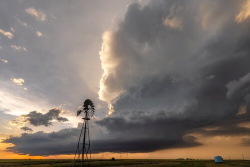
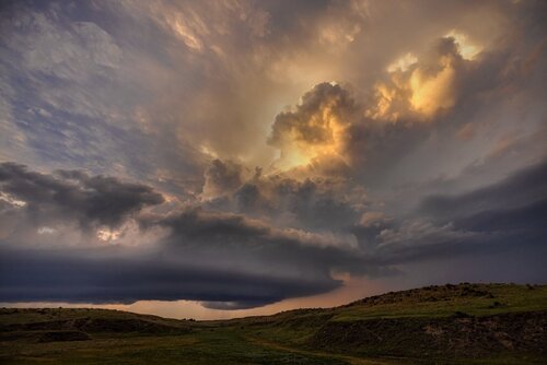
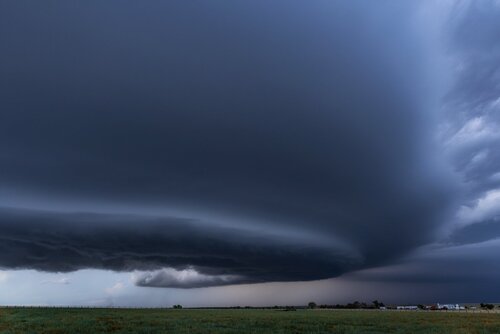
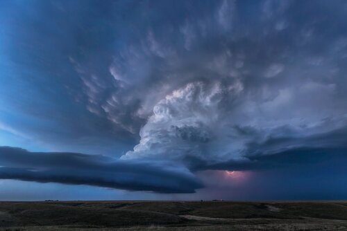
We made it up to Imperial just in time (23Z) to see towers go up slightly north east of our position on the stationary front near Ogallala, moving ESE @ ~25-30 knots. One updraft stayed on the front and made a hard right turn, escpaing the messy modes. We were able to get in front of it around Wallace, and it put on a beautiful two hour LP structure show. Barely got wet, listened to crickets and thunder and birds as it majestically spun over the hills. It tried hard to tornado several times, and had very distinct rapid motion on a cycling wall cloud and RFD cut, but ultimately never produced any persistent ground circulation or funnel.
After so many days this year ending with a dust bowl or messy storms, this made my season feel worth it. One of the nicer structure days for me in several seasons.
Images in chronological order as the updraft went from pretty to stunning.
