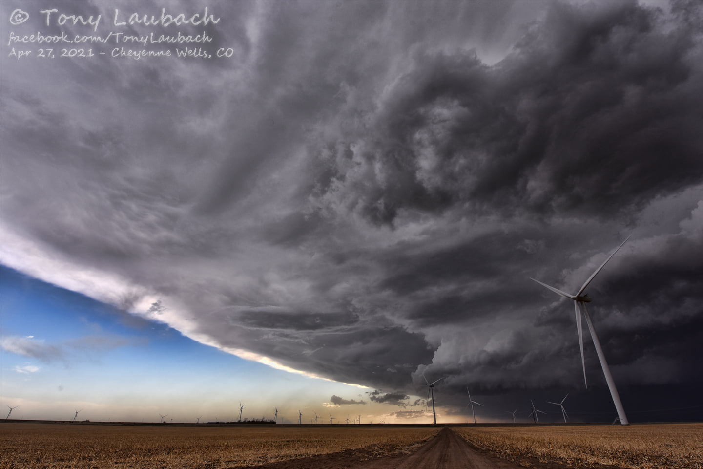
• A friendly and periodic reminder of the rules we use for fostering high SNR and quality conversation and interaction at Stormtrack: Forum rules

    P.S. - Nothing specific happened to prompt this message! No one is in trouble, there are no flame wars in effect, nor any inappropriate conversation ongoing. This is being posted sitewide as a casual refresher.

2021-4-27 REPORTS: CO/TX

I left Kansas City at 8:30 and made my way to my target area of Burlington Colorado. I got on the first warned cell then drop South to the one behind it just as it became tornado warned. The big thing from this day is that this was my first Chase with my new truck and I was able to get a wimpy tornado photo with it. Not a bad day!

Screenshot_20210427-183257_Gallery.jpgScreenshot_20210427-174620_Facebook.jpgScreenshot_20210427-183248_Gallery.jpgScreenshot_20210427-165820_Gallery.jpg
 
I was one of the folks on the Single Supercell Show™ in NW TX this afternoon. Originally targeted the Vernon area, but dropped south once the only storm in town showed right-moving tendencies. Was originally going to take a Crowell > Paducah > Guthrie route, but the hail core was represented on reflectivity with colors of purple that were incompatible with my rental car agreement. Decided instead to drop south from Crowell on Highway 6 for an intercept near Benjamin, TX. Road options were limited.

The circulation tightened and intensified just before the storm crossed the highway. I headed north on 6 for the intercept, stopping short of the well-defined clear slot. I didn't observe any obvious tornado, but word on the internet is that Reed drove into it. He was on the same highway, just a bit north of me, so apparently it *did* produce.

2C300E97-8699-47CB-8E34-B694F414A648-E.png
Approx 4 N Benjamin TX, approx 1600 CDT (2100 UTC)

I then paralleled the storm to the south on Highway 82/277, all the way up through the Wichita Falls area, where it finally started to weaken (some 3-ish hours later), revealing a pretty barber-pole updraft.

A277F086-8CDF-4614-85F2-76C7693BC7D7-E.png
Near Seymour TX, approx 1655 CDT (2155 UTC)

B2082A3C-0BAA-4B4D-975F-F028244BF347-E.jpg
Near Wichita Falls TX, approx 1730 CDT (2230 UTC)

C2162AEC-6126-487D-9786-2EECC644BB67-E.jpg
1 S Burkburnett TX, approx 1740 CDT (2240 UTC)

Not a bad day, considering I had set the bar pretty low after the guidance kept trending downward. Celebrated with some BBQ for dinner, and I'll take another crack at it tomorrow!

P.S.: James, that's a nice truck!
 
Commuted from Denver to Seibert to start my first 2021 chase. Saw several landspouts and gustnadoes on the tail end Charlie of the messy complex near Kit Carson. Sirens were sounding as I passed through town. I was slightly late closing on the storm that went from nothing to producing spouts in a short time. The spouts were mostly observed from several miles away, too far to get any high quality photos. On the way home saw some gorgeous Mammatus. Chase ended at about 8 hours and just over 1 tank of gas.
179378261_10100544053784858_1573943803118660781_n.jpg
 

Was a bit behind on the landspouts, but fortunately you can see forever in the high plains, so I was watching them from afar while making my approach. The spouts stopped as I got under the storm, go figure ;) Still though, added three stat-padders to the count. Not all home runs end up in the third deck.

180015928_317066379794690_6002411993371800879_n.jpg
 
Chased north Texas/SW Oklahoma with Cody Dunkle, whom I met on this very website. We met in person in Lincoln the evening before and spent the night in Dodge City, still undecided on whether the Colorado or the Texas play was the right move but wanting to be in easy driving distance from either. Determined in the morning that, despite the lack of consensus among CAMs, the geographical extent of the best parameters was greater in Texas and so we elected to play those odds. For the second time in five days, targeted Childress and found myself in the parking lot of the Childress Pilot watching satellite, and similar to last Friday the first storm to fire was to the SSW and it ended up being the main event for the day.

We hesitated a crucial few minutes to move on it, which meant we could not make an initial intercept south of Paducah without inviting baseballs into the car, so we stepped east and then south and ended up watching some very low circulation pass within a mile to our north, just north of Benjamin. At about the same time that other more well-known chasers were making their charge into the breach on what was called in as a tornado, Chris and Cody were bravely turning tail and heading south to avoid RFD. The limitations of the road network put us far out of position for the next 30-45 minutes on the storm, but the benefit was that once we had caught back up, outside Electra, we were treated to excellent views of the Gandalf-hat classic supercell structure.

After putting some distance between ourselves and the cell once more to cross the Red River at Wichita Falls, we met up with it for the last time near Davidson, OK, where Cody captured a nice, brief funnel looking south from highway 70 as I focused on the road. With darkness falling and energy waning we spent awhile chatting with chasers at the Love's by I-44 on the Oklahoma side of the Red River. In general today we had a great time talking to other chasers, well-known and not so much—an aspect of chasing I often miss when solo.

We also chased north-central Texas the following day but the less said about that the better.

IMG_0179 2.jpeg
^ Structure near its peak looking north toward Electra, TX

IMG_0191.jpeg
^ Fellow chaser Mark S. and approaching shelf east of Davidson, OK
 
[Update to my previous post]

Going through my video footage, it looks like I *did* capture the Benjamin/Trescott tornado on my approach to the clear slot. Barely visible on the original video, the very slight tornado-shaped silhouette caught my eye. Turning the Contrast-O-Matic machine up to 11 shows it much better. This was before it crossed Highway 6. This tornado was surveyed as an EF-3 with a max width of 300 yards and path length of 8 miles.

Benjamin-Intercept-ST-NC.jpg

Benjamin-Intercept-ST-WC.jpg
 
I chased in Colorado this day. It was quite the drive/distance (6.5 hours) to go for what was a marginal setup, but
1) the consistent helicity tracks on the CAM's had me intrigued
2) I thought I would stay in Kansas with Goodland as an initial target which initially made it about a 5 hour drive
3) It's been 8 damn months since I've chased and I was going to go regardless!!

In the end, I didn't make it to the "storm of the day" as it was producing the landspouts and was tornado warned bc I didn't give myself enough time to adjust that far southwest. However, once I was at Goodland and saw what was going on, I made a break for it. I came upon the storm after the tornado warning had been dropped and the severe tstorm warning was almost done with as well. I turned west towards Kit Karson and the storm and it was still producing a lot of blowing dust and outflow that would occasionally kick up some rather impressive looking dust devils.
I played around with the storm a bit on the backroads which actually made a pretty decent network west of Cheyenne Wells. As a side note, has anyone else used the app, maps.me? I know it's available for iPhone, but not sure about Android. I use it all the time now as it allows you to download very detailed maps and access them offline.
At any rate, I made it back to the highway and was heading north out of Cheyenne Wells, when I looked to the west and thought I saw something suspicious. I took the next gravel road west at the huge wind farm and sure enough the storm was producing one more nice, big landspout. This was my first landspout I've ever seen after 13 years of chasing! I've only recently started to go to Colorado though where it at least seems like they are the most common.
I was only able to get video and it dissipated before I could get really close. After that I started to head back north and made it back to Goodland ahead of the line of storms. Decided to start heading home and made it back at 2a after 955 miles.

I put together a video of the landspout and some other swirling dust stuff as well as a 10x speed video from dashcam.
 
9/22/2023
This report is quite a bit late, but going over the other reports for 4/27/2021, I think it is worth documenting the TX supercell that formed that day from a different point of view. We started from Tulsa that morning with the target area E of the dryline near Lawton by 2PM CDT. By 2:45PM CDT, “a robust supercell” (SPC MCD #0436) had developed SW of Paducah, so we targeted that cell and planned to intercept it near Crowell.

But we did not foresee that our route would involve construction and a section of stoplight-controlled-alternating-one-way-traffic that kept us stopped for almost 20 minutes. By the time we got through, Crowell as a target seemed a bit problematic: the cell had taken a pronounced RH turn and we would be approaching it from the north, through a region of large hail and heavy rain. US Hwy 183, south out of Vernon seemed like the best option at this point, and by 4PM CDT were positioned to observe the storm, looking into the inflow notch as it approached.

At 4:20 PM CDT, the cell was still about 14 miles away, but lost in the haze and murk (no picture.)

1696101845431.png

By 4:30PM CDT, the basic structure of this supercell is evident:

DSC_1069 - DSC_1071.jpg
4:33PM CDT (2133Z). Looking WSW from Stop 1, 14 SE of Vernon, TX. Nikon D60 18mm lens; Panorama by Hugin

Putting this together with the other reports, it looks like the “tail” of this cell, partially obscured by the front flank precipitation core, is not the extensive inflow band visible in pictures taken by other chasers, looking north/south. These features are almost on the ground, while the impressively-long inflow bands documented by other chasers look to be 1-2km AGL (at least). Based on the visual angle subtended by the ground-to-cloud base, we estimate the wall cloud base to be about 250m. The structure looks to be a fairly open helix:

DSC_1069 - DSC_1071_inset.jpg

The radar view, on the other hand, is somewhat underwhelming, lacking the pronounced hook echo I imagine when I think “classic supercell”. We are located approximately at the position of the white star. Note: Sidelobe contamination in the radial velocity scan renders the mesocyclone unrecognizable, so we are not bothering to show it here.

1696102615391.png

At 1433Z, a small funnel cloud formed—during the next 10-15 minutes we would also see a gustnado on the primary rear flank gust front as the PRFGF occluded the mesocyclone, and a weak tornado (rotating funnel with dust whirl on the ground).

DSC_1074.jpg

In short, multiple scales of rotation were evident in this storm. This obvious statement will be made more clear in the figure below, which is based on video recordings of the cell as it approached.

SC schematic.jpg

Notice the ground-based inflow structures to the right (north) as they become more visible with the approach of the storm in the video below: they are rotating cyclonically about a horizontal axis as they are drawn up into the updraft. It’s hard to see in this video, and I may need to make a YouTube account to make better quality video available (if there’s interest from the group).

As much as I have read about the generation of vertical vorticity by upward tilting of horizonal vorticity, I never thought to see it outside of a numerical model.

Anyone who attended the 2022 National Storm Chasers conference might recall a talk by Dr. Bruce Lee on enhancement of low-level mesocyclones by streamwise vorticity currents (SVC). After reading through his research, I am satisfied that these inflow features are SVC. There were at least two SVC visible most of the time, and occasionally it appears there are three (really hard to say.)

View attachment video1.mp4


By 4:44 CDT (2144Z), the mesocyclone was fully-occluded (a little help from the readers would be appreciated here, to be sure that I am interpreting the ground view and radar view properly.) The SVC tubes (assuming I got that right, as well) actually recede out of sight into the FFD rain curtain on the right. They were impressive to see and I wish pictures could do them justice.


DSC_1096 - DSC_1093.jpg
4:44PM CDT (2144Z). Looking WSW from Stop 1, 14 SE of Vernon, TX. Nikon D60 18mm lens; 137˚ Panorama by Hugin
With apologies to @JamesCaruso( :)), RadarScope no longer has this data archived so I can't use the screen tools. Instead, I had to use RadarScope PNG's I saved to document the event when I got home. So, what follows is a blink comparator presentation of the lowest reflectivity and radial velocity scans. There is still significant sidelobe contamination, but at least the doppler signature of the mesocyclone is not obscured.

KFDR_20210427_2144Z.gif

We are pretty close to the mesocyclone at this point, and I will save the bandwidth of further documentation, because I really need a website to present the rest of my pictures and video. EVENTS/REPORTS on StormTrack may not be the best place for analysis like this (I will let the moderators decide). By 4:55 PM CDT, we headed south on US Hwy 183 just in time to avoid the heavy rain and hail. Curiously, there were not many chasers at this site, and most of them headed north, into the core. Undoubtedly this was the best strategy to reposition ahead of the cell, but it was a risk I did not want to take.

We were treated to one final funnel cloud--pretty sure this is the one visible in @Chris Demeniuk 's post above, taken from further away and a better panoramic view of the cell than I could get from my "inflow notch" position.

IMG_5328.jpg
4:57PM CDT (2157Z). Looking N from Stop 2, 16 SE of Vernon, TX. iPhone photograph.​

Following this short stop, we tried to make our way north to get back into a good position, but it was not going to happen. My luck with catching a storm with a head start has not been good so far--it's what puts the "chase" in Chasing.

To summarize, it's an open question whether such a late report has any value, but given it helps complete the picture of this storm (in my opinion), I hope it has value. Also--it's my favorite Plains chase so far--despite, again, no tornado worthy of the name.
 
Last edited:
Follow-Up to last post.

You can see below why I think the rotating horizontal features in the 4/27/2021 supercell images might be streamwise vorticity currents. Check out this volume rendering image from one of the co-authors of the SVC presentation (and papers) I mentioned in the previous post. (credit: Slideshow | Leigh Orf)


1696379502826.png
Caption:
Streamwise vorticity current
Volume rendering of vorticity magnitude and trajectories originating near
the ground across a secondary forward flank gust front boundary​
 
Back
Top