JamesCaruso
Staff member
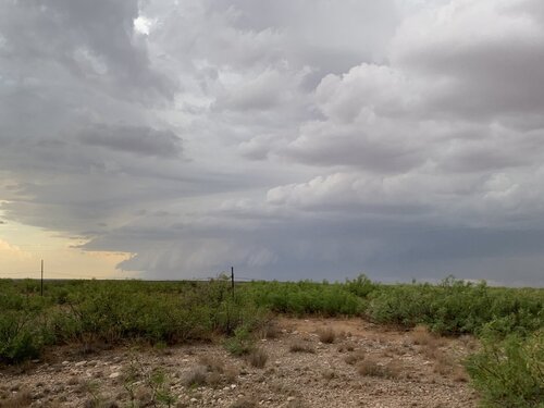
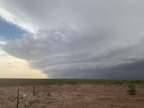
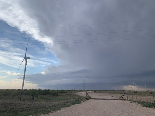
Headed out from Odessa vaguely targeting SE NM on this Sunday of Memorial Day Weekend, without a specific target in mind. I didn’t want to stray too far since I had booked a flight out of Midland for Monday, although that was subject to change based on Monday’s forecast. I thought there would be development off the Sacramento Mountains and there would be storms south of a line from Artesia to Hobbs. I stopped for a break and to check data, I think it was in Eunice NM if I remember correctly. Convection was already firing off the mountains up near Roswell and areas north. I saw that a severe watch had been issued but it did not extend all the way down to the southern NM / Texas border. I am not in the habit of chasing watches but it was a data point I could not ignore. I decided to head up toward Roswell and at around 3:45 MDT intercepted a severe-warned cell that I believe had earlier been tornado-warned. I watched it approach from south of Roswell on Route 285.
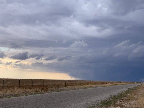
The only east option to stay with the storm was 249 out of Hagerman. I left the storm to reposition - had to go north to Midway, down route 2 to Dexter and then on to Hagerman. While I was on route 2 the storm was tornado warned. I watched it for a time from between Dexter and Hagerman.
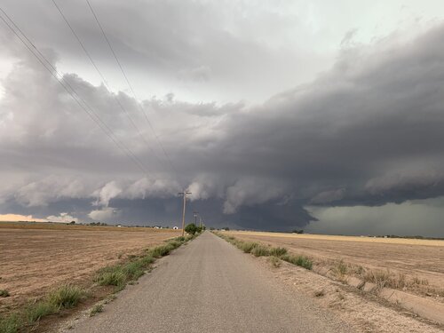
The storm became outflow dominant and a more southern storm near Lake Arthur became severe warned. It was a nice view to see this one from a distance over the NM landscape.


The only east option to stay with the storm was 249 out of Hagerman. I left the storm to reposition - had to go north to Midway, down route 2 to Dexter and then on to Hagerman. While I was on route 2 the storm was tornado warned. I watched it for a time from between Dexter and Hagerman.

The storm became outflow dominant and a more southern storm near Lake Arthur became severe warned. It was a nice view to see this one from a distance over the NM landscape.
