Ethan Schisler
EF5
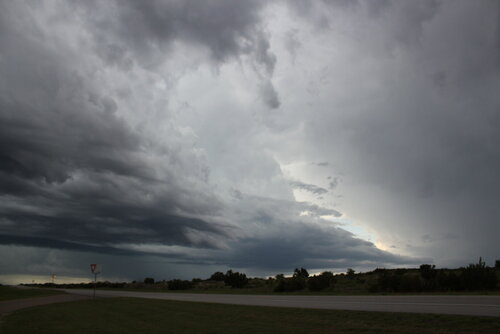
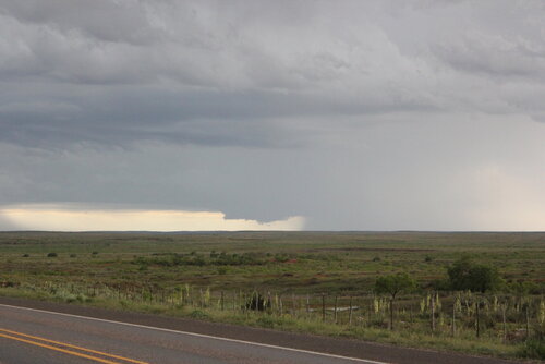
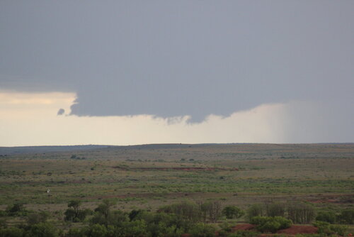
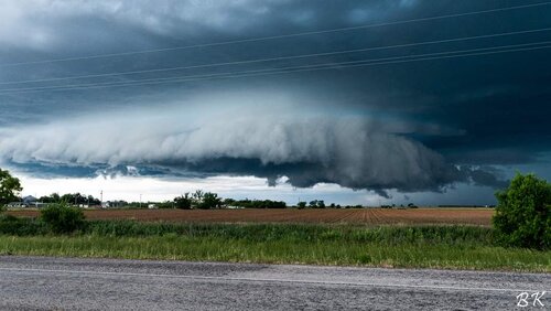
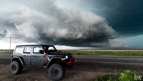
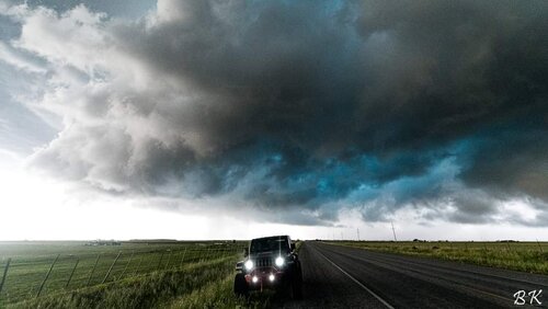
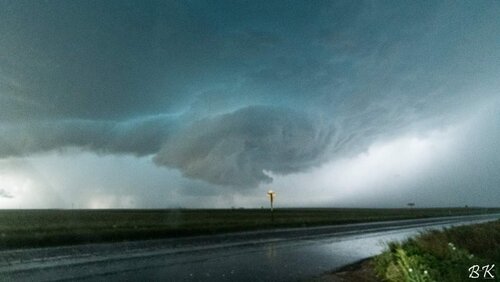
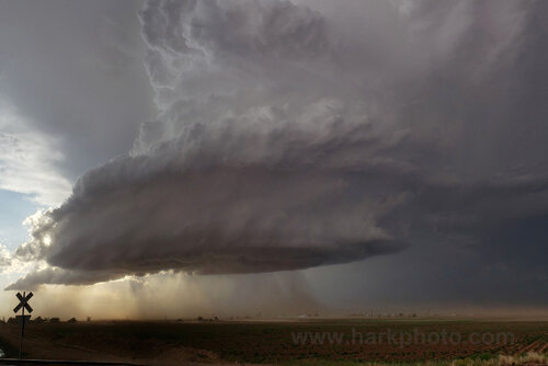
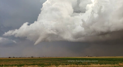
Day 1 of my chasecation turned out to be very hot. I was expecting a good setup, but not nearly as good as what I got, which was a little bit of everything. I targeted the Big Spring, TX area due to it's location near a remnant outflow boundary which intersected a dry line that was arcing NW back into New Mexico. I wasn't a fan of the lower moisture on either side of this so I decided to stick with the bubbling convection near and east of Big Spring near Stanton, TX. This went on for 90 minute to 2 hours before one cell took over and turned SE. We encountered VERY large hail south of Big Springs, TX approximately 3.5-4" in diameter. We watched 2 funnel clouds form, I was initially unsure of whether they touched down but I got confirmation from fellow chaser Evan Hatch that one indeed touch down about 3 miles to my SW near Elbow, TX! We made the move of driving S and then back to the N on another major highway (road network is bad here) and managed to intercept the storm right as it dropped a large white tornado near Sterling City, Texas. This was a very photogenic bright white tornado from our position and we attained excellent stills and video. This tornado appeared to lift with multiple vortex on the ground and a cone would condense every now and then. It either handed off to a new tornado or was a continuation of the long track tornado, but a very large tornado approached highway 163 and ended up impacting a gas plant. The nearby wind farm recorded a 112 mph wind gust I was informed by one of the employees in the RFD of the tornadic storm as the large tornado passed very nearby. We probably encountered close to 80-90 mph winds in the RFD before turning around. The day was capped off by incredible HP storm structure, mammatus, and a nice sunset.
Here are some stills I shot thoughout the day:
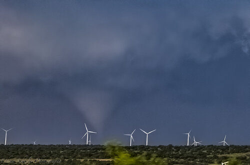
Tornado touchdown to my NW in rural Sterling City, TX area
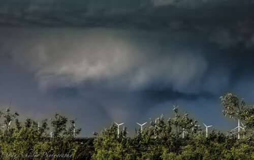
We managed to pull over and the tornado grew quite large almost reaching wedge status at one point before lifting.
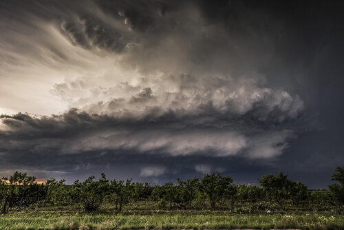
Excellent storm structure with large tornado ongoing underneath

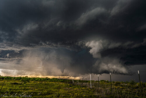
Cone tornado recondenses under long-lived tornado cyclone.
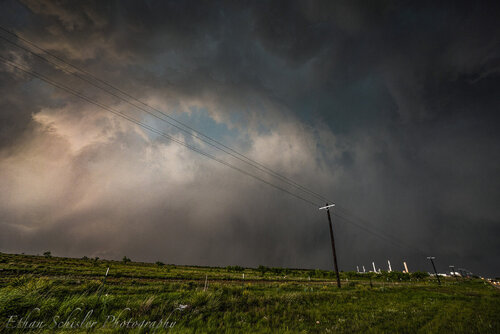
Very large tornado approaching highway 163 about to become shrouded in heavy rain/hail. We encountered extreme winds after this and bailed south. I'm not sure if this was the same tornado of just a continuation of a long track tornado that lasted nearly 55 minutes. Either way, it was quite an intense chase and I have quite a bit of photographic material to sort through.
Here are some stills I shot thoughout the day:

Tornado touchdown to my NW in rural Sterling City, TX area

We managed to pull over and the tornado grew quite large almost reaching wedge status at one point before lifting.

Excellent storm structure with large tornado ongoing underneath


Cone tornado recondenses under long-lived tornado cyclone.

Very large tornado approaching highway 163 about to become shrouded in heavy rain/hail. We encountered extreme winds after this and bailed south. I'm not sure if this was the same tornado of just a continuation of a long track tornado that lasted nearly 55 minutes. Either way, it was quite an intense chase and I have quite a bit of photographic material to sort through.

