Paul Hadfield
EF3
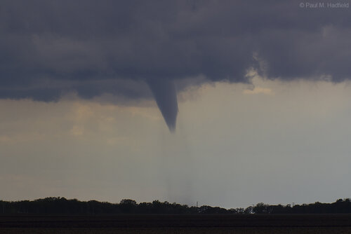
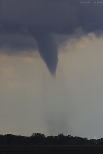
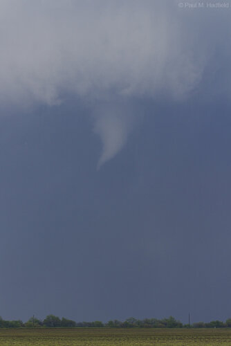
A frontal system dropping through the Central Illinois region on Thursday May 6th produced multiple non-supercell tornadoes. HRRR advertised storm potential in Christian County so we simply made it a point to be out and wait. Patience paid off around 2PM as multiple funnel clouds descended out of a cell near Assumption with the most dominant becoming the most prominent tornado. Steep low level lapse rates coupled with increased surface vorticity made for a unique experience as we observed numerous areas of interest along the entirety of the line once the first tornado concluded. As one to still be on a short leash after so much time and unable to chase proper storms west of the Mississippi, this was a much appreciated photographic opportunity.
NNE of Assumption Illinois
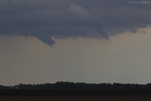
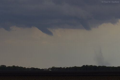
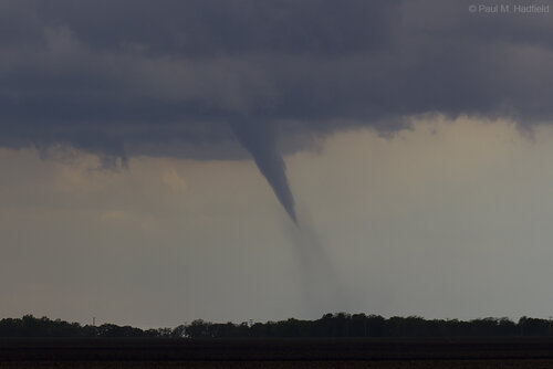
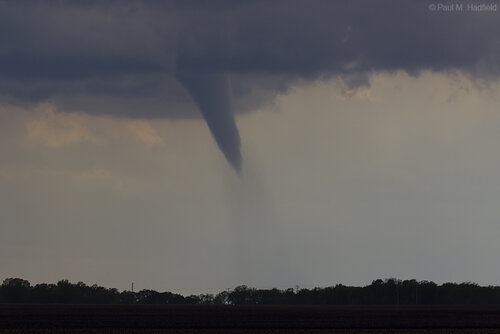
Further upstream between Findlay and Bethany on a new warned storm
Dashcam (for overall perspective)
NNE of Assumption Illinois


Further upstream between Findlay and Bethany on a new warned storm

Dashcam (for overall perspective)
