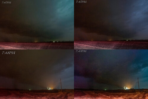
Skip Talbot
EF5
Early season cold core setup in eastern MO/western IL. Targeted Macon, MO for midafternoon low topped cells in hopes of documenting photogenic convection and maybe a funnel cloud. Chased lackluster cells east toward Mississippi before retargeting warned cell tracking through Louisiana, MO into Illinois. Observed brief weak tornado west of Rockport, IL at close range before storm fell apart at dusk.
Tornado warned storm sw of Rockport, IL/north of Louisiana, MO at 7:15 pm:
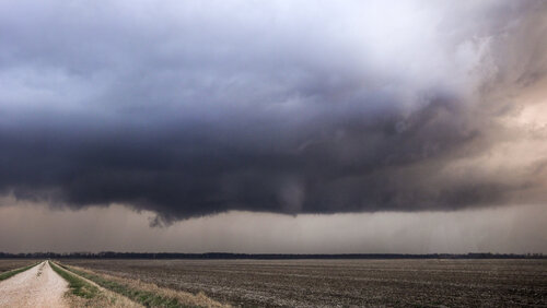
Developing tornado sw of Rockport, IL at 7:19 pm:
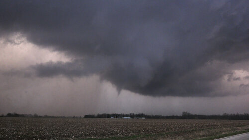
Faint dusty debris cloud visible beneath cone funnel at 7:19 pm:
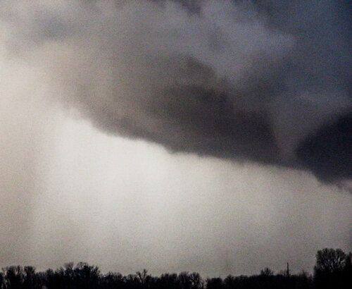
Photogenic funnel and parent cyclone structure with debris cloud at 7:20 pm sw of Rockport, IL:
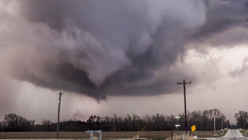
Faint dust tube is visible beneath funnel along with misty white ground circulation in nearby field at 7:21 pm:
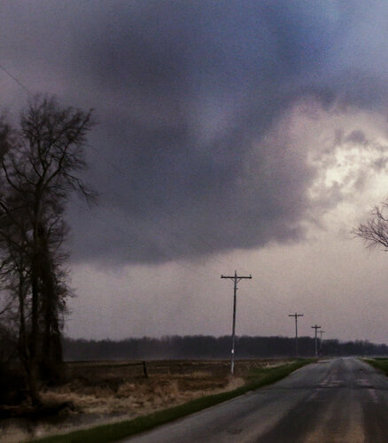
Snaky rope-out of half condensed funnel cloud at 7:22 pm w of Rockport, IL:
Video:
Tornado warned storm sw of Rockport, IL/north of Louisiana, MO at 7:15 pm:

Developing tornado sw of Rockport, IL at 7:19 pm:

Faint dusty debris cloud visible beneath cone funnel at 7:19 pm:

Photogenic funnel and parent cyclone structure with debris cloud at 7:20 pm sw of Rockport, IL:

Faint dust tube is visible beneath funnel along with misty white ground circulation in nearby field at 7:21 pm:

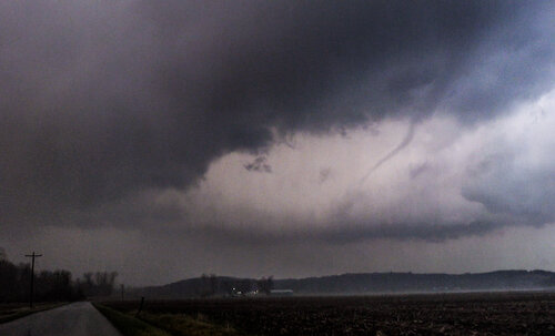
Snaky rope-out of half condensed funnel cloud at 7:22 pm w of Rockport, IL:

Video:

