Quincy Vagell
EF4
I started the morning by waking up very early. I couldn’t sleep and I was on the fence about chasing, but let’s be honest, I rarely back out of a chase unless the setup completely falls apart. Going into today, I realized the setup was going to feature relatively weak low-level wind fields and a tendency for storms to move onto the cool side of a frontal boundary. With that said, 40-50 knot deep layer shear and dew-points in the upper 50s over the High Plains was enough for me.
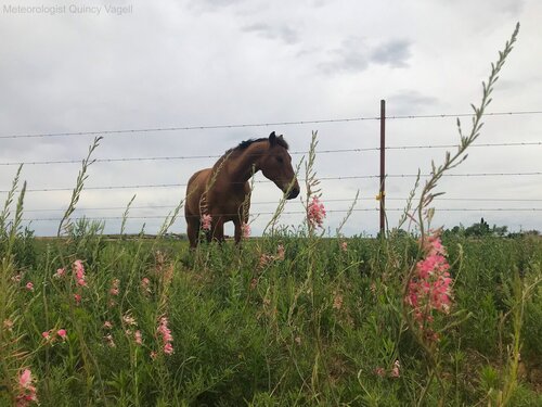
I left Oklahoma City before 6 a.m. and got to Snyder, TX by early afternoon. It was a waiting game and the longer it got, the more that persistent cloud-cover was an issue. Convective temperatures were around 80F, but Snyder was struggling to get above the lower 70s with mostly overcast skies:
Around 5 p.m., convection initiated west of my favored target, just east of the NM/TX border near Seminole. That storm did not look well-organized on radar, it was moving northeast into an area of decreasing instability and was going to put me 6+ hours from home. It was either go all in or abandon the chase. Without a visual, I reviewed satellite imagery and noted that the storm appeared to be organizing into a supercell, so west I went.
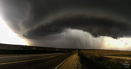
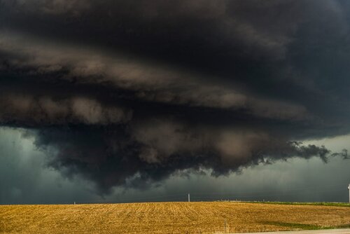
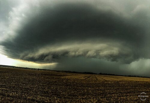
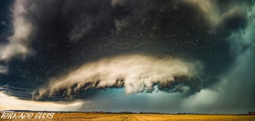
As I got closer, I had a visual on a grungy base and it looked like the storm was near-surface based. The storm went tornado-warned, but most of the rotation was fairly elevated, suggesting hail as the main threat.
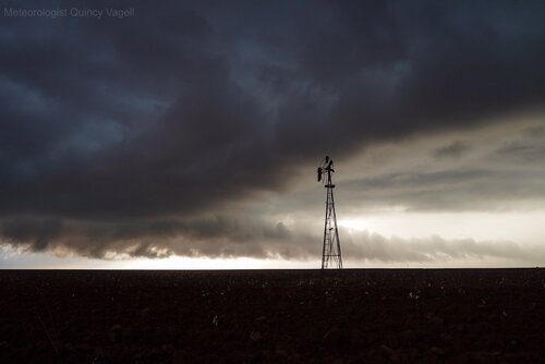
I watched the storm about halfway between Seminole and Lamesa. It was gradually turning right (east) and it’s base reorganized a few times. For a little while, a modestly rotating base lowered, but a cool east to east-northeasterly inflow wind (around 10 knots) with temperatures in the mid-60s and dew-points in the mid-50s wasn’t going to do much sustain a surface/near-surface based supercell.
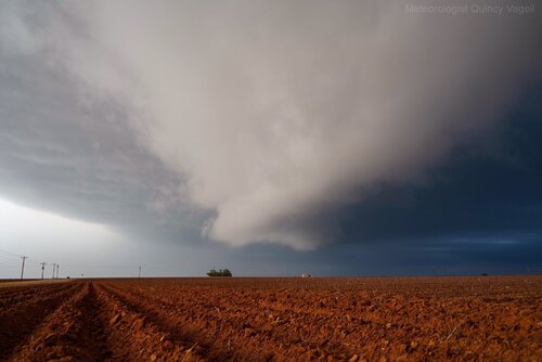
I stayed with the storm until just about sunset before calling the chase over. Patience paid off and real-time analysis helped pick out the right storm, even if it wasn’t in a particularly favorable environment.
I’m uploading this via mobile, so if anything looks wonky, give me a moment to fix it.
I left Oklahoma City before 6 a.m. and got to Snyder, TX by early afternoon. It was a waiting game and the longer it got, the more that persistent cloud-cover was an issue. Convective temperatures were around 80F, but Snyder was struggling to get above the lower 70s with mostly overcast skies:

Around 5 p.m., convection initiated west of my favored target, just east of the NM/TX border near Seminole. That storm did not look well-organized on radar, it was moving northeast into an area of decreasing instability and was going to put me 6+ hours from home. It was either go all in or abandon the chase. Without a visual, I reviewed satellite imagery and noted that the storm appeared to be organizing into a supercell, so west I went.
As I got closer, I had a visual on a grungy base and it looked like the storm was near-surface based. The storm went tornado-warned, but most of the rotation was fairly elevated, suggesting hail as the main threat.

I watched the storm about halfway between Seminole and Lamesa. It was gradually turning right (east) and it’s base reorganized a few times. For a little while, a modestly rotating base lowered, but a cool east to east-northeasterly inflow wind (around 10 knots) with temperatures in the mid-60s and dew-points in the mid-50s wasn’t going to do much sustain a surface/near-surface based supercell.

I stayed with the storm until just about sunset before calling the chase over. Patience paid off and real-time analysis helped pick out the right storm, even if it wasn’t in a particularly favorable environment.
I’m uploading this via mobile, so if anything looks wonky, give me a moment to fix it.

