Dan Robinson
EF5
Full chase log page with more images:
http://stormhighway.com/blog2017/nov617a.php
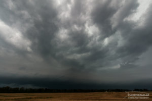
Today turned out much better than expected given my low expectations going in. I was on the supercell that tracked from St. Louis as it moved due east right down Highway 50 in Illinois. A great CG barrage and a likely tornado at Carlyle made this a nice little fall Midwest chase day.
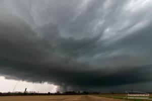
The storm was badly undercut in the low levels until just east of Trenton, when inflow began a battle for a corridor into the meso. It seemed to accomplish this just west of Carlyle as a rapidly rotating wall cloud managed to spin up with attendant rain curtains racing around it:
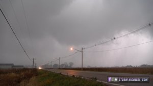
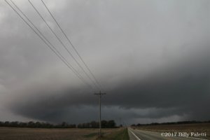
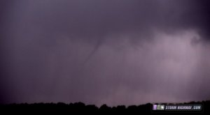
This feature wrapped in rain quickly, but I saw pieces of sheet metal high in the air just before I bailed to the east. I got comfortably ahead of the storm again east of town, and pulled over just in time to witness this rope appear in the rain just north of the highway:
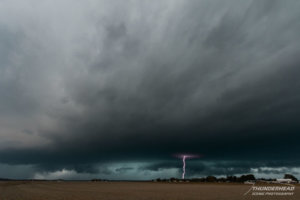
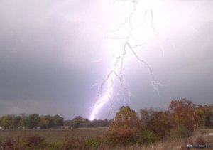
Lightning and fall colors earlier in the chase at Collinsville:
Video:
http://stormhighway.com/blog2017/nov617a.php
Today turned out much better than expected given my low expectations going in. I was on the supercell that tracked from St. Louis as it moved due east right down Highway 50 in Illinois. A great CG barrage and a likely tornado at Carlyle made this a nice little fall Midwest chase day.
The storm was badly undercut in the low levels until just east of Trenton, when inflow began a battle for a corridor into the meso. It seemed to accomplish this just west of Carlyle as a rapidly rotating wall cloud managed to spin up with attendant rain curtains racing around it:

This feature wrapped in rain quickly, but I saw pieces of sheet metal high in the air just before I bailed to the east. I got comfortably ahead of the storm again east of town, and pulled over just in time to witness this rope appear in the rain just north of the highway:

Lightning and fall colors earlier in the chase at Collinsville:

Video:
Last edited:

