Ethan Schisler
EF5
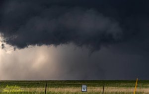
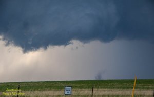
Had been watching this day for a while for a local chase. Had intentions of chasing the day before, but given what happened last weekend (major health issues), I didn't feel safe venturing far from home, so I stuck to a local chase. It didn't turn out too bad. I targeted a supercell that was crossing the Mississippi River near Muscatine, Iowa into Mercer County, IL. I eventually got on the storm near Viola, IL and documented a weak, short lived tornado just northwest of the small town of Alpha, IL around 6:40PM this evening. I noobed it up with the camera though while driving and forgot to change my settings, so the first picture is blurry and the best picture I got was while it was lifting. I didn't see anymore tornadoes from this storm, only one attempt at tightening up as it was north of Victoria, IL. I dropped south to some more storms in the Galesburg area, but they were pretty insignificant, I got a nice sunset though on the back-side of the last storm near St Augustine, IL. Overall not a bad chase day. The tornado was pretty weak and probably among the weakest I've seen, but still nonetheless...I was happy to be there to see it. I submitted my report to NWS Quad Cities, however never saw the report come up on SPC.
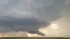
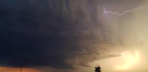
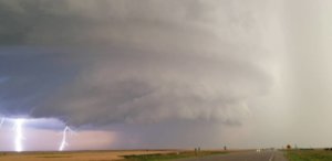
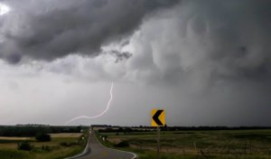
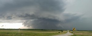
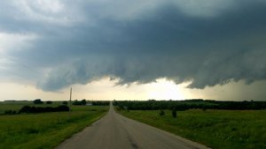
Here are a few shots from the day....
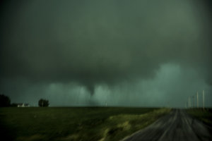
Bad photo while driving
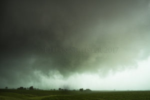
Best photo I got after I pulled over, the tornado was in the process of lifting. Total run time....around 30 seconds maybe, not very long...
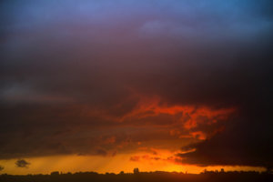
Pretty sunset on the backside of the storms.
Not an incredible day by any means, but any day I can get out and see some good storms close to home is okay in my book.
Here are a few shots from the day....

Bad photo while driving

Best photo I got after I pulled over, the tornado was in the process of lifting. Total run time....around 30 seconds maybe, not very long...

Pretty sunset on the backside of the storms.
Not an incredible day by any means, but any day I can get out and see some good storms close to home is okay in my book.


