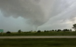
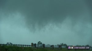
 Woke up in Wellington, Kansas and with all the clouds and crapvection going on, only saw two options. One was an 8 hour drive South into central Texas which wasn't going to work because we'd have to drive those 8 hours again on Saturday on the way back home to Michigan. Option two was the SW corner of Missouri. The cape was still relatively high there and the sun was shining. Set the GPS to Springfield, but delayed leaving to watch a storm coming into Wellington that just became severe warned. Got some wind and small hail before finally heading out about 11:00. Stopped to eat and fuel up in Sarcoxie Missouri when the storm approaching started to intensify.
 The storm then became tornado warned and dropped a couple of tornados almost immediately. Got some cell phones pictures at highway speeds because the bowing segment with the tornados really picked up speed. The storm remained tornado warned for quite a while, but never got another glimpse of anything. Followed the storm all the way to Jefferson City, Missouri where we called it a day.
Just a note. When leaving Jefferson City in the morning, we saw a trampoline way up in a big tree. Not sure how they are going to get it back down...

