Michael Snyder
EF3
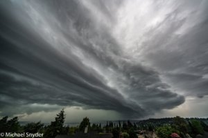
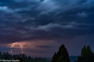
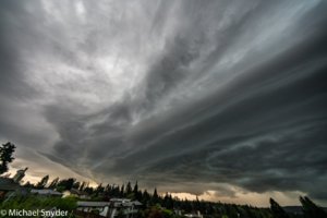
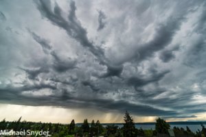
Thought I would share a few pictures from what was probably the most active convective day in at least 30 years in the Pacific Northwest.
May 4th started off as a foggy, muggy morning, as the trajectory of the air that took residence over Western WA/OR was from the subtropics/Hawaii. Dew Points were in the lower 60s, something that in itself is very rare for the Seattle area. Temperatures reached into the mid 70s and soon you could see convection develop over the Oregon coast and start its trek north. It didn't take long as the Lightning and thunder started at about 245pm Seattle time, and as of 3am this morning huge shots of thunder were still going strong.
All in all we had
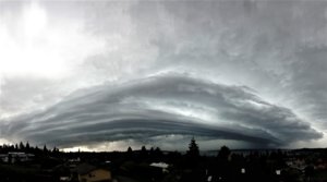
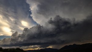
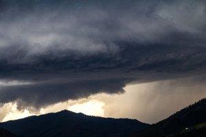
5 rounds of convection, the second round was the strongest and was associated with the storm that brought significant wind damage to the Olympia area. It is this storm that then weakened a slight bit and then moved almost directly over my house in Normandy Park WA. that I got some of the best photos of the day. Seeing shelf clouds and supercell structure is something that Ill probably go several years at least before seeing here again.
All in all it was a very fun" home" storm chase.
