Ethan Schisler
EF5
I figured I would start a thread for this event tomorrow. I'm going to focus my forecast on the Illinois and Indiana portion of this outlook because that is where I'll be targeting tomorrow along the warm front near the IL/IN border between 21 and 00z. Very rich low level moisture with dew points in the upper 60s to near 70 appear to reside south of a warm front that should be draped across Southern Illinois and Indiana. Low level shear appears appreciable for a tornado threat with ESRH values in the 200-300m2/s2 range underneath large CAPE values nearing 3000 J/KG across the Ohio/Mississippi River valleys. My only concern which SPC has brought up in their recent outlook is some slight height rises over the area. However CAMs show storms initiating in this region during the daylight hours opposed to further southwest where initiation might wait until shortly after dark.
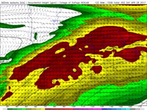
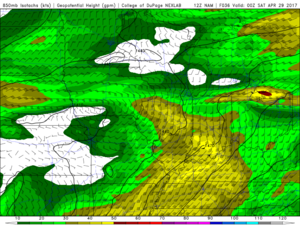
Very favorable tornadic environment exists along this corridor which roughly lies along I-70 by 00z tomorrow evening with the 3km NAM pegging high significant tornado values.
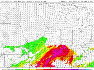
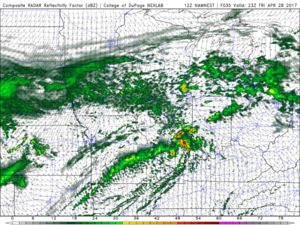
Along with of course, it for the past couple model runs has been showing storms firing in this region shortly after 21z and moving northeast into a favorable environment. Now as to whether these can be surface based or not, I'm not sure. However I'm willing to take a gamble on a 4 or 5 hour drive versus a 12 hour one for a much more promising setup in my eyes.
I'll include a cherry picked sounding which includes the day in which I saw my first tornado (2004-05-30) as an analog, a day in which a tornado hit parts of Indianapolis for those that don't remember.
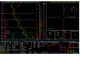
My target tomorrow would probably be east of Effingham, IL around 21z and then adjust from there. Right now I'm fairly optimistic in what I'm seeing, however 24 hours from now that could and probably will completely change.....so stay tuned.
Anyone chasing the TX/OK setup feel free to chime in on that portion....


Very favorable tornadic environment exists along this corridor which roughly lies along I-70 by 00z tomorrow evening with the 3km NAM pegging high significant tornado values.

Along with of course, it for the past couple model runs has been showing storms firing in this region shortly after 21z and moving northeast into a favorable environment. Now as to whether these can be surface based or not, I'm not sure. However I'm willing to take a gamble on a 4 or 5 hour drive versus a 12 hour one for a much more promising setup in my eyes.

I'll include a cherry picked sounding which includes the day in which I saw my first tornado (2004-05-30) as an analog, a day in which a tornado hit parts of Indianapolis for those that don't remember.

My target tomorrow would probably be east of Effingham, IL around 21z and then adjust from there. Right now I'm fairly optimistic in what I'm seeing, however 24 hours from now that could and probably will completely change.....so stay tuned.
Anyone chasing the TX/OK setup feel free to chime in on that portion....
