• While Stormtrack has discontinued its hosting of SpotterNetwork support on the forums, keep in mind that support for SpotterNetwork issues is available by emailing [email protected].

2017-04-21 REPORTS: OK/TX

Joined
Jun 16, 2015
Messages
476
Location
Oklahoma City, OK
I had a somewhat later start than I would have hoped (didn't leave Oklahoma City until almost 3:00), but that brought me down I-35 just as a discrete cell was trying to blow up near Springer, OK. Watching cloud tops get shunted and sheared off, and seeing mixed signals on radar, I continued to drop south and took a break at the Texas welcome center. By the time it was a little after 5, I was growing weary about capping across North Texas and saw that the aforementioned cell was looking a lot better on radar. Seeing that the environment ahead of the cell looked fairly favorable, I blasted northeast, back into Oklahoma.

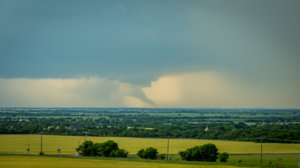
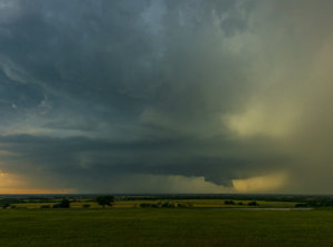
I was able to get close to the cell in Bryan County and documented its progress, but despite showing some of the best structure I had seen so far this year, the storm gradually weakened and became slightly elevated. Below is a photo I snapped near Banty, OK. One panoramic photo in the same spot was ditched since it looked really warped with power lines to the west.
banty.jpg

Trees were a big pain and I only snapped off one photo worth sharing. The video below is a montage at 16x speed that shows some of the storm's evolution. I missed the early part, when the cell looked the most intense on radar, but perhaps some others will share the beginning stages below. I had a distant view of a few lowerings, which may or may not have been actual funnel clouds.

I can't say that I'm disappointed, but it was definitely not a perfectly executed chase. (then again, chases rarely are without at least some challenges) I've "learned" to make a decision and stick with it, not getting too wishy washy and risk losing out on seeing anything at all.
 
We were on this storm as well, having left FWD later than we should've (pesky work responsibilities). Stopped briefly in Marrieta as a new cell was developing to our west, and almost considered ignoring the Springer area storm to head towards this new one. After a few moments we decided we could head northeast after the ongoing, mature severe storm and just let the one to our west follow us. Finally got up to the storm SW of Tishomingo, and basically trailed it down OK78 all the way to Durant. Just never had that 'look' at the bottom, despite a lot of lower-mid level rotation and lower level turbulence. Pretty disappointing, considering it was the lead severe storm, well ahead of the crashing CF and right long the boundary. Oh well, on to the next one...
 
We got right under the Durant one up close, saw all the rotation, got a few pics and followed east it after that till it died out. Started to look promising for a while but never quite got there. Was still awesome to see!

Sent from my SM-N920V using Stormtrack mobile app
 
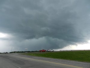
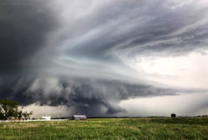
We decided to head out early so we could leisurely get to our initial target of Ardmore, OK and catch initiation. We stopped for lunch in Sanger, TX and after looking at the latest data, diverted to near St. Jo, TX. We waited for initiation at the Rolling N Ranch Art Park southwest of St. Jo at 677 and 3206. After a while it looked promising, but then initiation seemed to wane and the area to our northeast looked better, so we took 677 north and crossed the Red River into OK and waited for initiation on 32. A small cell fired near Nocona, TX and it moved northeast towards us. We tracked it east on 32 all the way to I-35. By this time more impressive convection had fired back to our west, so we went back west on 32. We decided to try to get in the right flank of the storm by cutting in front of the southeast moving storm by crossing the Red River back into TX and going south on 677 back to St. Jo. I got a nice picture of this shelf cloud on the leading edge as we went south (looking southwest).

20170421_182914_small.jpg

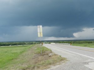
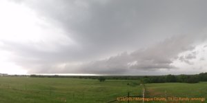
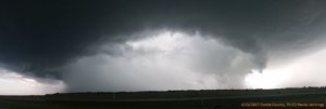
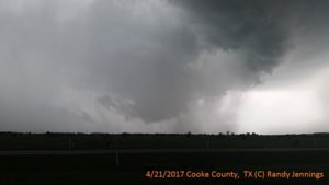
This wasn't the wisest move we have made. The storm beat us to St. Jo and had developed some broad rotation and a little bit of a hook on the southern end. We either had to drive thru it to get to St. Jo, or say put and get hit by the hail core. We drove thru it. It wasn't that bad, but we really shouldn't have been there to begin with. We took US 82 to Gainesville and then headed south on I-35. By this time the storm was quite impressive and it became tornado warned right as we pulled into the rest stop between Gainesville and Valley View. I got some very good structure pictures looking west/northwest from that rest stop. It developed a wall cloud and was quickly becoming rain wrapped.

20170421_191231_small.jpg

20170421_191825_small.jpg

20170421_191905_small.jpg

We did see a very brief tornado. Unfortunately, I didn't get a picture of it, although my chase partner did. I was felling a little guilty about not reporting the tornado I had seen a few weeks ago and filming it instead (although it was sort lived and just in a field), so I decided to call it in first and video second. By the time I made it back our vehicle and tuned the radio to the correct Skywarn net, it had already been reported and by the time I got back out of the vehicle it was gone (or at least rain wrapped). We quickly left and went to Sanger and went east on 455. We could see at least 2 wall clouds to our north but the lead one keep getting rain wrapped. We crossed the Ray Roberts Lake Dam and then went north on US 377 to Pilot Point. There still was a very low wall cloud at this point. We then fell south to US 380 and went east. We tracked it back into our home county (Collin County, TX) and the rest of the night was pretty much wall cloud chasing and hail avoidance. We followed the cell into eastern Collin County and went around the south side of Lake Lavon via 78. We keep seeing impressive hooks on reflectivity, a little rotation on velocity, but it never amounted to more than a wall cloud. We gave up about the Hunt County line on that cell and went to Carrolton in southeastern Denton County to set up for the next cell, which turned out to be just a major hail producer (which we managed to avoid).

Stats: 354 miles, 13.5 hrs, 1 tornado

Interesting sights: On the way to St. Jo the first time we saw a large dead snake in the road. Needless to say I was very careful stepping out of the car into the high grass on the side the road after that. The Rolling N Ranch Art park was interesting. I'll try to post about that latter. We also saw a outdoor warning siren that was knocked over on the ground.

Chasers encountered: I talked to Daniel Shaw on the radio briefly, but we never crossed paths. @Ben Holcomb and @David Reimer where slightly ahead of us in the mad rush to get out of St. Jo, but we never caught up with either of them. We passed @TJ Whitt going south on I-35 just before we stopped at the rest stop. I'm sure there where others too.
 
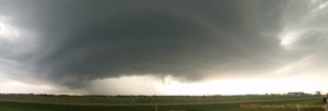
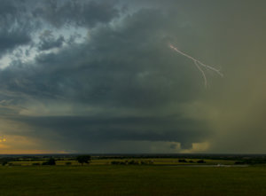
Got a late start on the storms, waiting to see if it was worth my while to get out. I did have an advantage, being in McKinney, and initially targeting the I-35 to highway 75 area, on the north side of the metroplex. Finally got up to go after seeing the storm ramp up in Montague County. If any of you are familiar with the Celina area, the high school there on the north side of town offers a commanding view to the west, as it sits up on a hill. That is where I camped it to do some time-lapse and no sooner than I put the car in park, the tornado warning came down for the storm at I-35 between Gainesville and Valley View, and captured this, 20 miles away...

DSC_1371.jpg

Needless to say, didn't last for very long. Storm kept it's wall cloud and certainly looked, at times, like it wanted to produce again, but never did.

DSC_2032-2.jpg


DSC_2167.jpg

Time-lapse:

 
Last edited:
Back
Top