kevin-palmer
EF2
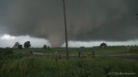
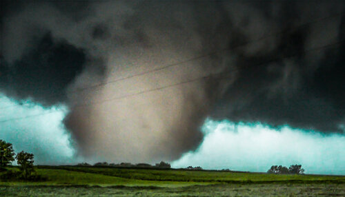
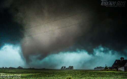
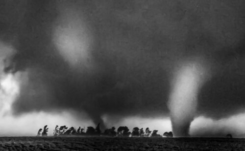
This week has had some very unexpected weather. As you know Illinois was under a hatched 10% tornado risk on 7/13 and not a single tornado came of that. Today there was a 2% tornado risk and the SPC mentioned a low risk of 1 or 2 short-lived tornadoes. But that is not what happened, with a violent, long-track tornado occurring near Cameron. I'm sure we'll hear more about the extent of the damage tomorrow.
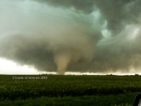
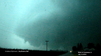
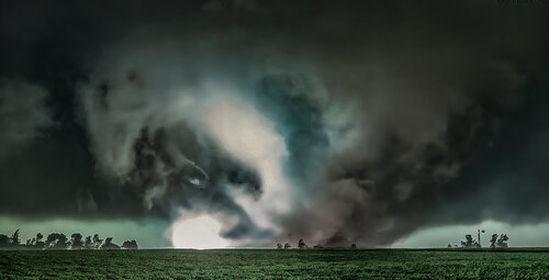
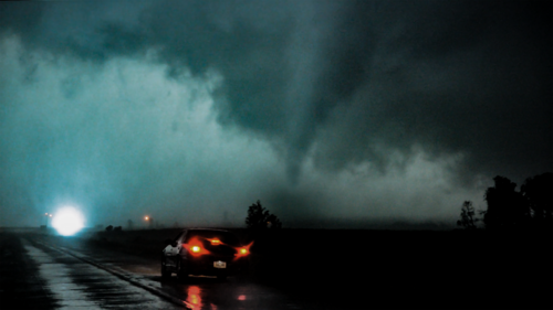
I went out with very low expectations today. The Hourly Mesoscale Analysis was showing a very small area with a supercell composite of 16, so that's where I targeted. I waited around near Macomb before picking a storm. They first fired in Missouri but I didn't want to go that far. I was about to go after a storm further north in Iowa but then a better option appeared. A new cell fired nearby and I met up with it near Stronghurst. I was very surprised by how quickly a tornado warning was issued. I saw almost no rotation on radar. And anything I did see was not where I expected it to be, near the updraft. But the base soon appeared and showed some amazing circular structure.
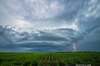
Stronghurst Supercell by Kevin Palmer, on Flickr
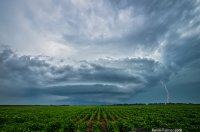
Supercell CG by Kevin Palmer, on Flickr
Time Lapse Video
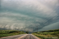
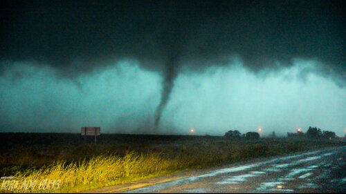
I did not have very good data here. I should have realized based on the storms appearance that it was getting ready to produce. I drove north of Stronghurst and had to make a choice. I could go east after the same storm that may have issues with precipitation hiding any possible tornado. I didn't know that the rotation had tightened up and a tornado was already confirmed at this point. But I decided to go west after an apparent wall cloud. This was a separate line of storms where there appeared to be strong inflow from right to left into a wall cloud along with powerful CG's nearby. This is what lured me away from the tornado, and I regret it.
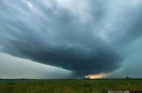
Between Rain by Kevin Palmer, on Flickr
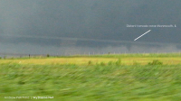
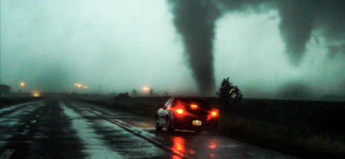
With rain shafts on both sides I realized I was about to lose all visibility so I started heading towards Monmouth. I turned on the radio and heard about the confirmed large PDS tornado which is the last thing I expected to hear. With the twister slowing down to 15 mph I hoped I could emerge out of the rain and see it. But it wasn't possible. Once I started encountering RFD winds I realized it was time to pull over and wait for the rain to stop. I checked on the town of Kirkwood and didn't see any damage. But traffic on Route 34 had come to a standstill. I found an alternate route on the 164 but encountered many areas where 6 inches of water was covering the road and I was glad to have a high clearance vehicle. As I drove through Monmouth I noticed the whole town appeared to be without power. I'm glad the tornado didn't track north a couple miles or there would have been a lot more damage. I hope nobody was killed or badly injured in Cameron. I considered stopping to help but I didn't want to get in the way and according to the radio all roads to the town were closed.
I went out with very low expectations today. The Hourly Mesoscale Analysis was showing a very small area with a supercell composite of 16, so that's where I targeted. I waited around near Macomb before picking a storm. They first fired in Missouri but I didn't want to go that far. I was about to go after a storm further north in Iowa but then a better option appeared. A new cell fired nearby and I met up with it near Stronghurst. I was very surprised by how quickly a tornado warning was issued. I saw almost no rotation on radar. And anything I did see was not where I expected it to be, near the updraft. But the base soon appeared and showed some amazing circular structure.

Stronghurst Supercell by Kevin Palmer, on Flickr

Supercell CG by Kevin Palmer, on Flickr
Time Lapse Video
I did not have very good data here. I should have realized based on the storms appearance that it was getting ready to produce. I drove north of Stronghurst and had to make a choice. I could go east after the same storm that may have issues with precipitation hiding any possible tornado. I didn't know that the rotation had tightened up and a tornado was already confirmed at this point. But I decided to go west after an apparent wall cloud. This was a separate line of storms where there appeared to be strong inflow from right to left into a wall cloud along with powerful CG's nearby. This is what lured me away from the tornado, and I regret it.

Between Rain by Kevin Palmer, on Flickr
With rain shafts on both sides I realized I was about to lose all visibility so I started heading towards Monmouth. I turned on the radio and heard about the confirmed large PDS tornado which is the last thing I expected to hear. With the twister slowing down to 15 mph I hoped I could emerge out of the rain and see it. But it wasn't possible. Once I started encountering RFD winds I realized it was time to pull over and wait for the rain to stop. I checked on the town of Kirkwood and didn't see any damage. But traffic on Route 34 had come to a standstill. I found an alternate route on the 164 but encountered many areas where 6 inches of water was covering the road and I was glad to have a high clearance vehicle. As I drove through Monmouth I noticed the whole town appeared to be without power. I'm glad the tornado didn't track north a couple miles or there would have been a lot more damage. I hope nobody was killed or badly injured in Cameron. I considered stopping to help but I didn't want to get in the way and according to the radio all roads to the town were closed.
Last edited:

