Terry Tyler
EF5
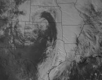
Got a nice cluster of storms near Montrose, Arkansas yesterday. It was an extremely windy system before, during, and post event.
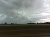
This is a view of the severe warned cluster near Montrose, Arkansas. Storms had lots of rapid rising and shifting motions. Very turbulent and exited.
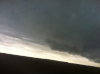
Eventually, we had a ragged shelf cloud pushing out and cold winds blowing easily 40 mph sustained for a long time.
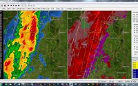
Radar Image of the Storm:


This is a view of the severe warned cluster near Montrose, Arkansas. Storms had lots of rapid rising and shifting motions. Very turbulent and exited.

Eventually, we had a ragged shelf cloud pushing out and cold winds blowing easily 40 mph sustained for a long time.

Radar Image of the Storm:
