Tony Laubach
EF5
COMPLETE JUNE 12 STORM CHASE LOG CAN BE FOUND HERE
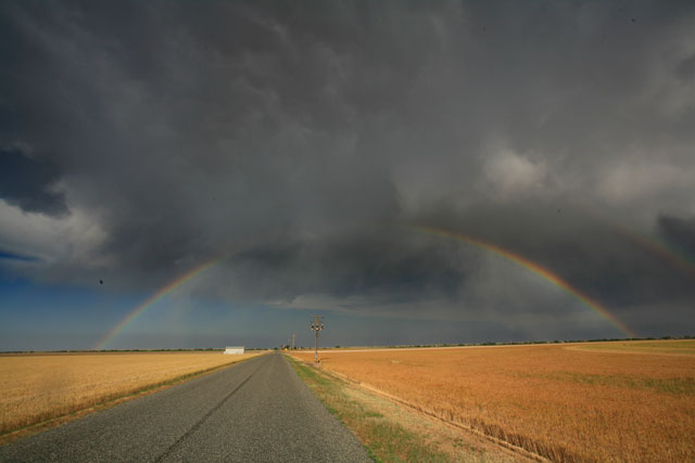
With Jon and I both working on campus til around 3, we decided to meet up in the labs to discuss heading out. With no MDs or watches for the Denver area, things were still questionable. However, a storm blossoming over southeast Denver grabbed our attention and we headed out from campus and out I-70 just ahead of rush hour traffic. The storm went severe warned for quarter hail and began to move northeast at us as we moved east out of town. High winds blasted us from the south and sent dust over the interstate and slowed up the traffic west of E-470. Soon after, the core caught us dropping penny-sized hail on I-70 east of E-470. We continued east as the storm slowly moved north of I-70 where we met with Verne and Michael in Bennett briefly. We shot north out of Bennett on CO-79 and intercepted the storm's core again in Prospect Valley where heavy rains and hail slowed us up. We documented nickel sized hail in town before continuing east on CO-52 where we turned north towards Wiggins and saw a broad, brief funnel cloud over what appeared to be a grass fire. We continued north into Wiggins where we turned back west on I-76 and dropped back south into Prospect Valley to document some of the flooding in the town. We then tried to chase down the fire, but fire trucks were leaving as we arrived. We stopped again in Hudson to watch a new base and google over the Wyoming storm before returning to Denver.
Left the reports thread open to Nebraska and Wyoming reports for those who jumped on that stationary storm which we could see from I-76 in Colorado.
COMPLETE JUNE 12 STORM CHASE LOG CAN BE FOUND HERE


COMPLETE JUNE 12 STORM CHASE LOG CAN BE FOUND HERE
With Jon and I both working on campus til around 3, we decided to meet up in the labs to discuss heading out. With no MDs or watches for the Denver area, things were still questionable. However, a storm blossoming over southeast Denver grabbed our attention and we headed out from campus and out I-70 just ahead of rush hour traffic. The storm went severe warned for quarter hail and began to move northeast at us as we moved east out of town. High winds blasted us from the south and sent dust over the interstate and slowed up the traffic west of E-470. Soon after, the core caught us dropping penny-sized hail on I-70 east of E-470. We continued east as the storm slowly moved north of I-70 where we met with Verne and Michael in Bennett briefly. We shot north out of Bennett on CO-79 and intercepted the storm's core again in Prospect Valley where heavy rains and hail slowed us up. We documented nickel sized hail in town before continuing east on CO-52 where we turned north towards Wiggins and saw a broad, brief funnel cloud over what appeared to be a grass fire. We continued north into Wiggins where we turned back west on I-76 and dropped back south into Prospect Valley to document some of the flooding in the town. We then tried to chase down the fire, but fire trucks were leaving as we arrived. We stopped again in Hudson to watch a new base and google over the Wyoming storm before returning to Denver.
Left the reports thread open to Nebraska and Wyoming reports for those who jumped on that stationary storm which we could see from I-76 in Colorado.
COMPLETE JUNE 12 STORM CHASE LOG CAN BE FOUND HERE
COMPLETE JUNE 12 STORM CHASE LOG CAN BE FOUND HERE