Matthew Crowther
EF3
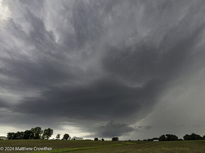
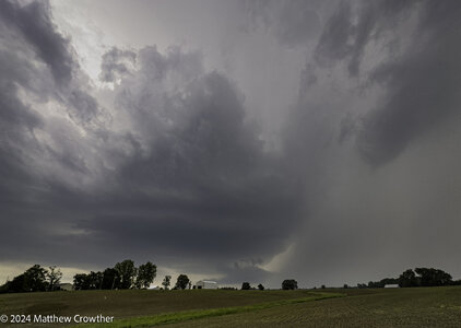
I can't chase today but Wednesday is looking perhaps as dangerous as today, but farther east. My preliminary target is in IL east of STL. or maybe in the Bootheel of MO. This NAM hodograph in MO is pretty scary-looking.
is pretty scary-looking.