Dan Robinson
EF5
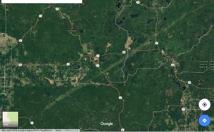
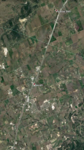
Google just released a cool feature where you can loop satellite imagery of anywhere on earth from the late 1980s through today. Here are a couple of examples showing tornado damage tracks:
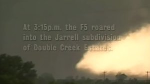
Moore, OK 1999 and 2013 F5s
https://earthengine.google.com/timelapse/#v=35.33931,-97.51254,11.963,latLng&t=1.90
Joplin
https://earthengine.google.com/timelapse/#v=37.07079,-94.48997,11.058,latLng&t=0.12
Phil Campbell, AL - multiple 2011 sig tor tracks visible in the area
https://earthengine.google.com/timelapse/#v=34.352,-87.71007,7.956,latLng&t=1.35
Here is the main page for the timelapse feature - you can search for anywhere on earth:
https://earthengine.google.com/timelapse/
Last edited:


