Mike Smith
EF5
Hi Everyone,
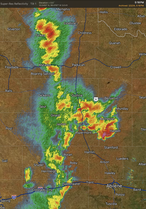
We had a classic side-lobe situation this past Friday but, unlike some, it turned into a tornado in Texas. That posting is here: MSE CREATIVE CONSULTING BLOG
Some information for chasers that I didn't include in the blog posting:
We had a classic side-lobe situation this past Friday but, unlike some, it turned into a tornado in Texas. That posting is here: MSE CREATIVE CONSULTING BLOG
Some information for chasers that I didn't include in the blog posting:
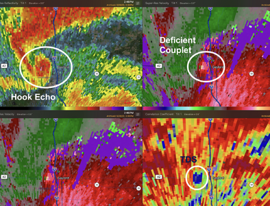
- Side lobes can indicate extreme winds, even more than 100 mph. It can be very difficult not to want to pull the trigger when looking at winds of that velocity.
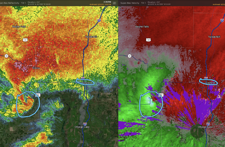
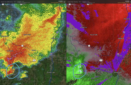
- Side lobes do occur with/near circulations on the leading edge of squall lines (QLCS), but I have not had enough experience to provide quality guidance.
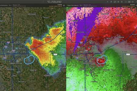
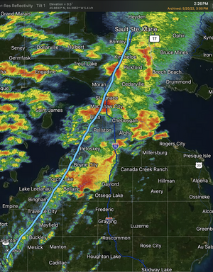
- As with everything in meteorology, there are (rare) exceptions. The April 29, 2022, Wichita-Andover Tornado had such a high base (see radar imagery below) that it appeared the tornado's circulation was detached from the supercell. It could have been misinterpreted as a side lobe. But, these are rare.