Intense Tropical Cyclone Favio

Joined
Oct 30, 2006
Messages
74
Location
Minneapolis, MN
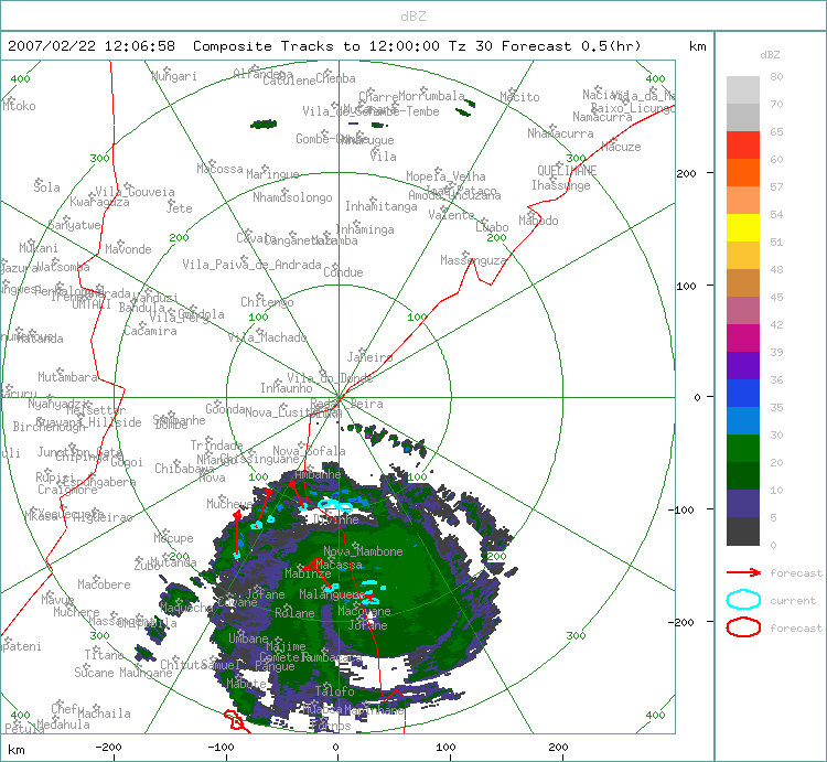
Beginning early this past weekend, Favio steadily developed very good structure, apparent on microwave imagery, but little convection. As the TC rounded the tip of Madagascar, warming SSTs and a slightly more favorable environment aided development, which by Dvorak intensity estimates was measured as rapid development. About 12 hours ago it appeared Favio had reached major hurricane status, and this morning intensity estimates are in the Cat 4 range. JTWC's advisory #13 states that Favio's intensity could exceed their forecast of 115 kt in 24 hours. Favio is forecast to landfall in Mozambique, Africa. And the current environment is now providing a very flavorable outflow pattern.

There has been an interesting history of the different forecasts by JTWC and La Reunion over the past three days, and there has been more than the usual spread in the range of Dvorak intensities from the different agencies during that time. This evening I'll post some more details.

Aft update -- JTWC increased the intensity to 115 kt based on satellite intensity analysis, and this now matches SAB's estimate...Favio is now at Cat 4 intensity. I am unable to find any recent advisories from La Reunion (I use this unisys link).

20070220.1430.meteo7.x.vis1km_high.14SFAVIO.105kts-938mb-252S-418E.100pc.jpg
 
Last edited by a moderator:
That's quite a cyclone. Like hurricane Katrina on Southern Hemisphere

Yes, but not that big or as powerful as northern hemisphere systems. Typically they're smaller down here. It'll probably make landfall in the next few days. The real danger will come from rain upcountry as the system moves inland which will load the rivers in Mozambique resulting in widespread flooding in low lying areas.

Some more info here:

http://www.weathersa.co.za/Pressroom/2007/2007Feb20TropicalCyclone.jsp
 
Yes, but not that big or as powerful as northern hemisphere systems. Typically they're smaller down here.

What are you on about Mungo? There is no difference between TC strength and size depending on the hemisphere.

This is a pretty strong TC with 100kt winds. Fair enough it isn't like Severe Tropical Cyclone Monica which had 135kt winds but 100kts is a solid Intense Tropical Cyclone.
 
Western Australia has had more than its fair share of cat 5s over the last few years, the Pilbara coast seems to get hit badly at least once a year. TC Monica which was heading for my neck of the woods for a while before turning to the WSW well ahead of most forecasts (which had me feeling ripped off and lucky at the same time) had max gusts of 360kmh iirc (around 190kt). I'll confess to not being up to speed regarding W Indian ocean TCs but there seem to be a lot of strong ones out that way. I think the perception regarding N Hemisphere typhoons/hurricanes is perhaps exacerbated by the countless docos on US events as well as the NW pacific area that gets super typhoons as they are called sometimes. Just my 2c on the matter, welcome corrections, it's all a learning process :)
 
Converting to the non standard one minute average used by RSMC Miami would give 115kts Tarmo so yes. You can follow the forecast track of Intense Tropical Cyclone Favio, Moderate Tropical Storm Gamede and Tropical Disturbance 11 here.
 
Favio's intensity was just changed from 90 kt to 110 kt on the most recent IR image at 0100Z. Favio is making landfall. :(

A recent high-res water vapor image below (from 2254Z). IR imagery indicated an ERC beginning about a day ago, but it wasn't clear cut on microwave imagery until this morning's Windsat. Really rotten timing. Mozambique already has tens of thousands of people displaced from recent flooding.

20070221.2254.aqua.x.ir1km.14SFAVIO.90kts-954mb-235S-372E.86pc.jpg
 
Last edited by a moderator:
Here's the Beira radar, the closest, at 2pm local. Not a massive system, as I was saying. But note the thunderstorms trying to get going in the forward landward edge. I am flying down to the Kruger Park tommorrow on business, so i should get a taste of the outer edge of it. It'll be interesting. Starting to get some signs of thunderstorms forming here in Johannesburg right now, we are about 500 km from the outer bands of the system.


beira.gif
 
MJ Poore, just to make this straight: Is South Africa also expecting any effects from Favio?

Nothing severe Tarmo. Right now where I live there are scattered thunder showers breaking out in places. But we're not expecting anything like strong rain or wind and the system is moving north, away from us
You can click this link to see the big picture of southern africa, as you can see it's up more north.
http://metsys.weathersa.co.za/RADSAT_250.html

Chris:

That's an amazing pic. You can also see that other system called Gumede over Madagascar as well.
 
Back
Top