Colorado Storm Chasing Image Thread

Joined
Jan 5, 2010
Messages
201
Location
Castle Rock, CO
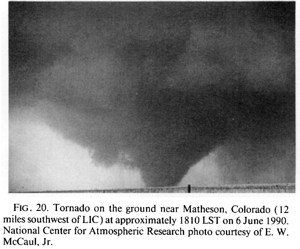
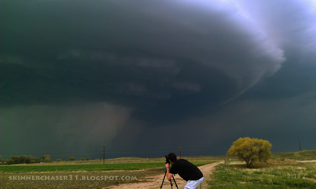
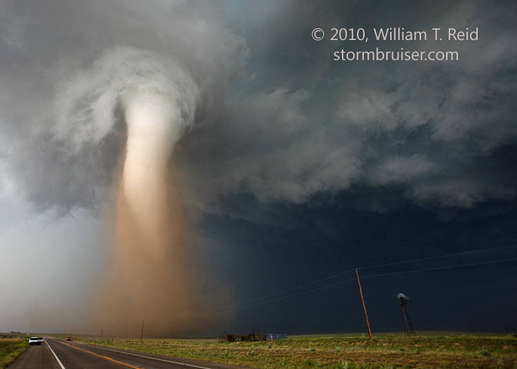
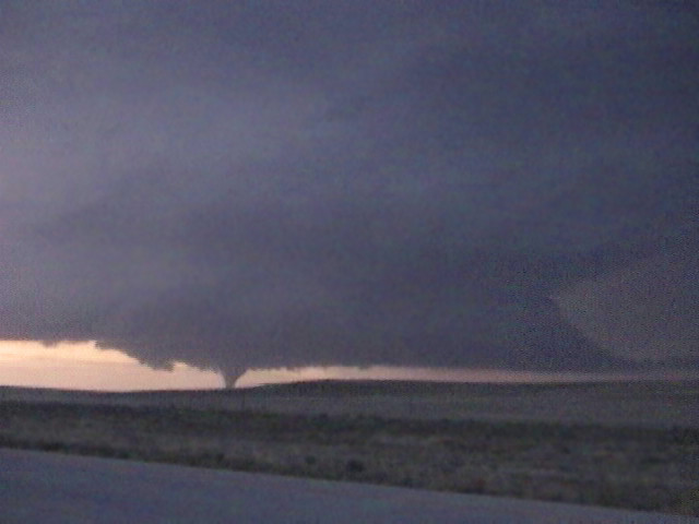
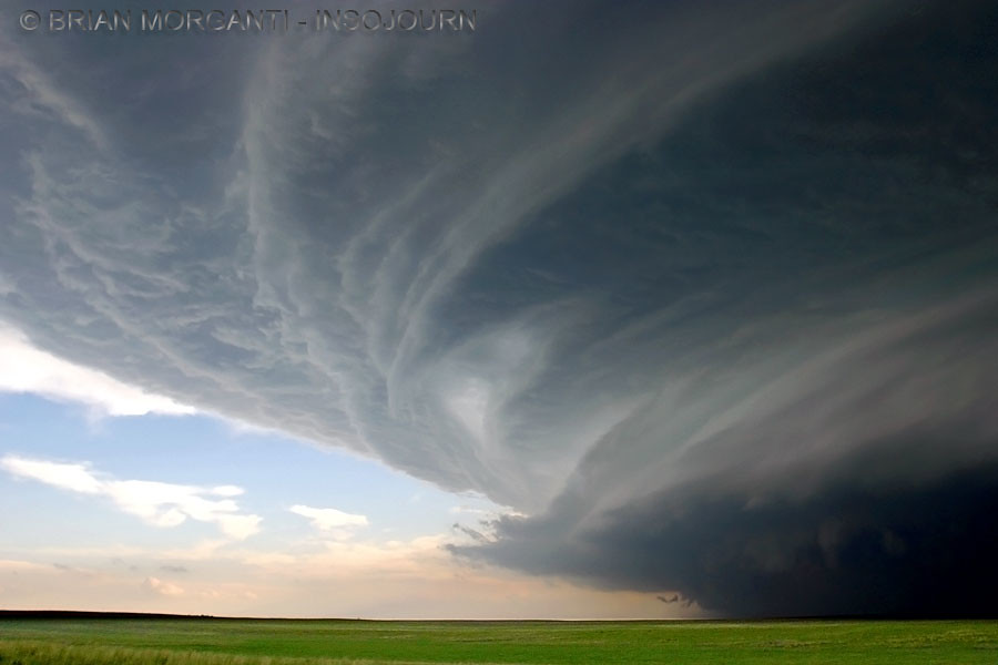
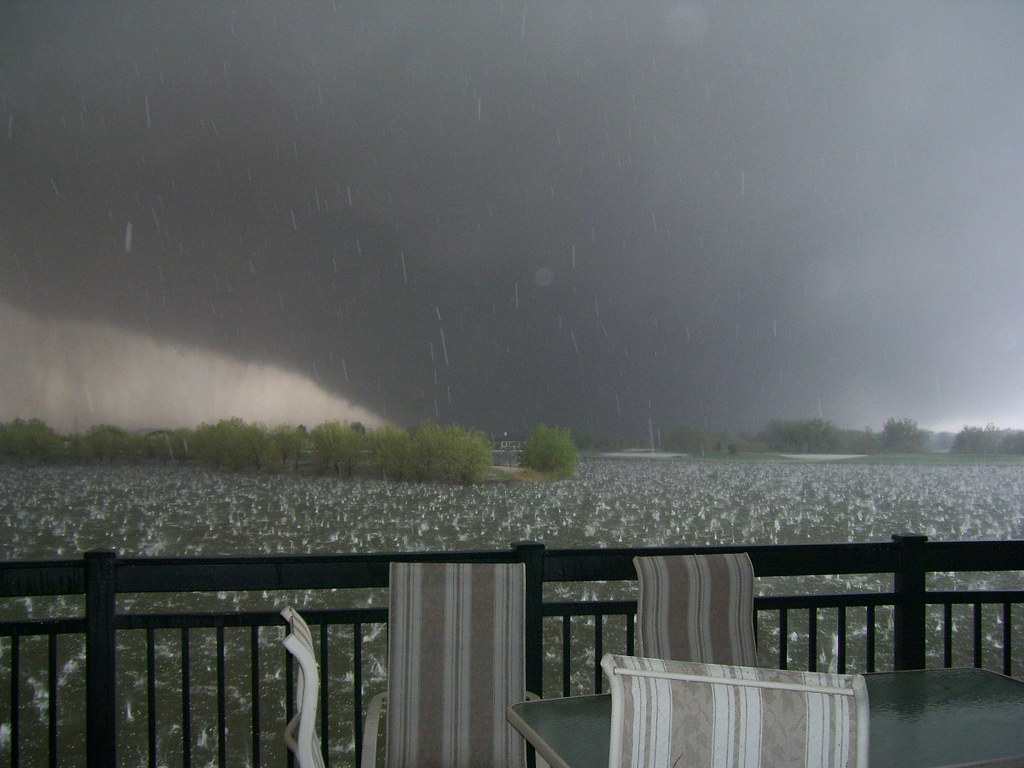
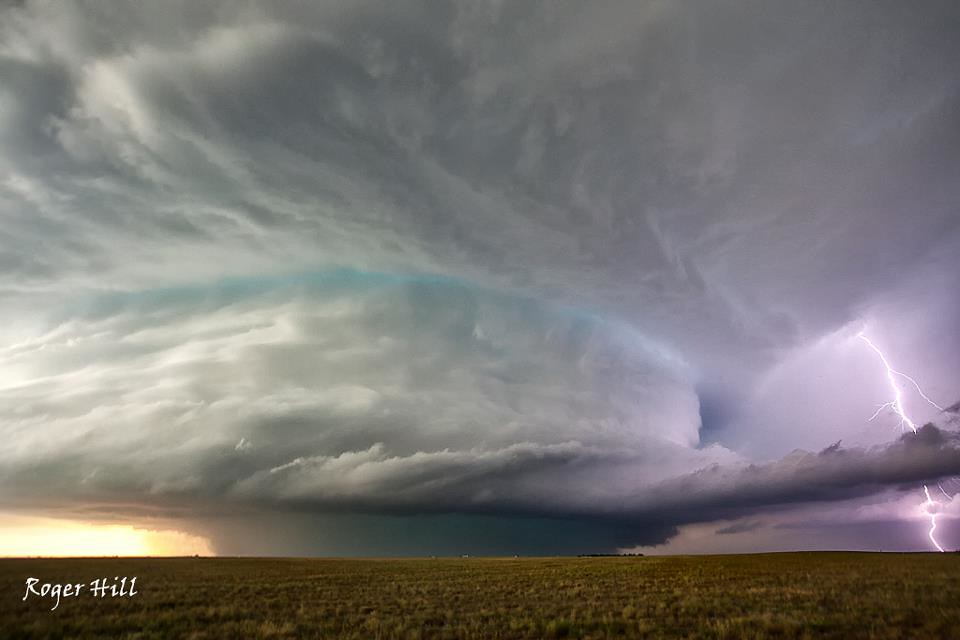
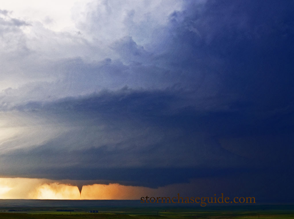
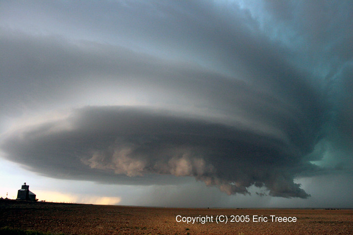
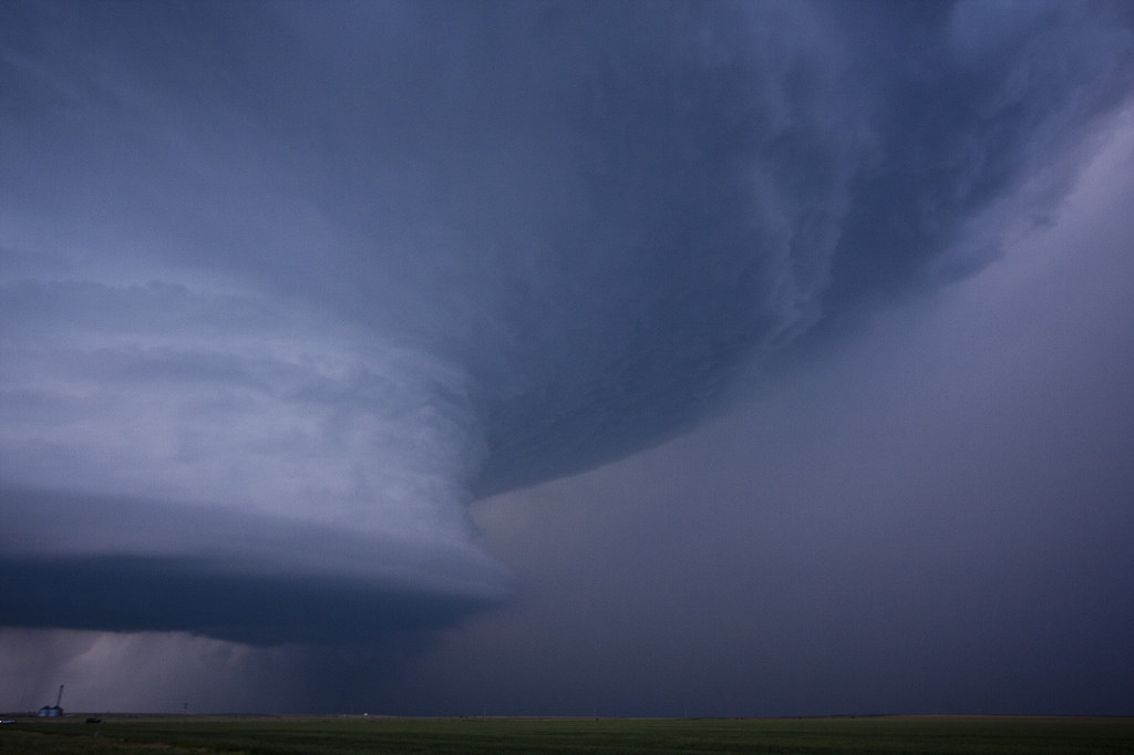
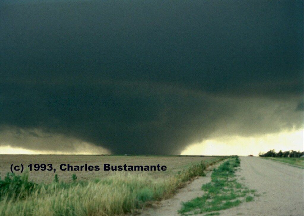
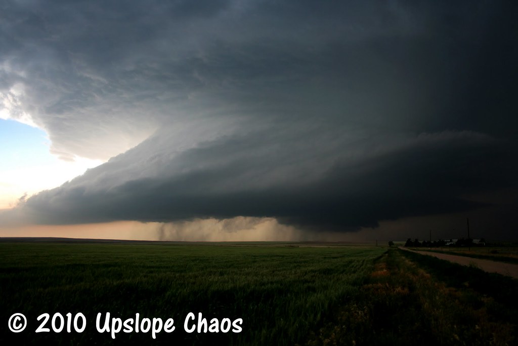
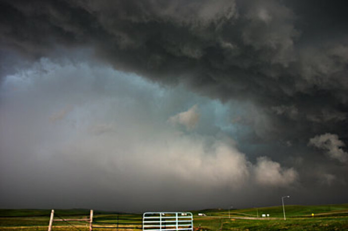
Lately I have been doing a lot of research in regards to severe patterns in eastern Colorado. My main question has been this: Does Colorado get storms of the same caliber of those that develop over the KS, OK, TX, and NE areas? I found various news interviews and stories where reporters would say we do not, but after looking for proof, I beg to differ. I know there have been no EF4 or EF5 tornadoes reported in Colorado, but I wonder how much of that has to do with the fact that most of the plains are extremely rural with no trees. How accurately can you measure wind speeds with no objects to observe after the fact? It is my estimation, that Colorado should not be looked at as a lesser state in terms of outbreak severity and frequency. I have compiled a group of images I have read about and found online that were ALL taken in Colorado, to demonstrate that the caliber of the storms here are every bit as significant as the storms east of here. Thanks to all who have chased and taken these shots over the years!
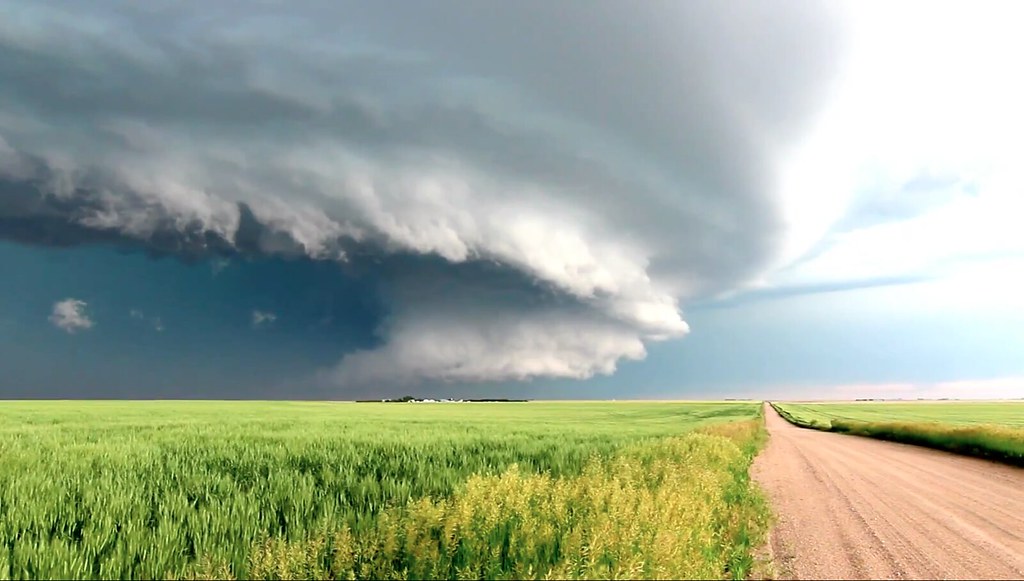
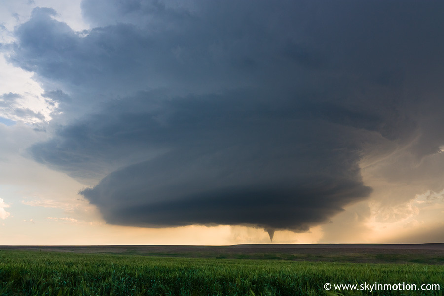
8665923483_2e2ee082d6_b.jpg


8667025230_2f06b447a2_b.jpg


8665923363_8b488d361b_b.jpg


8667025264_386193d416_b.jpg


8665923675_fba0be7d00_b.jpg


8665923583_397704bd3c_z.jpg
8665923567_4c2c82c15c_z.jpg


8665923631_b31aa8c3c8_b.jpg


8667025138_9ae36ace0b_b.jpg


8667025032_d7b90eb694_b.jpg


8665923653_0503480e0b_b.jpg


8667025252_aeb4699845_b.jpg


8667025104_12ea49deed_b.jpg


8667025022_c79cf2a546_b.jpg


8665923511_f4d2de0827_b.jpg


8665923535_18cc49ef10_b.jpg
 
As for visual appearance I'd agree they are just as stuning, often times more so, due to lack of trash clouds around the updraft. But I would doubt it is equal in severity of storms. Have read that there is a small area somewhere there in Eastern Colorado that has the highest number of tornadoes per land area as anywhere (including spouts in that number I assume). But I doubt the frequencey of upper end tornadoes is as high. I think you could come to some sort of conclusion on frequency of mesocyclone tornadoes for all of Eastern Colorado and if it was generally lower then the higher end tornadoes is probably lower too. Massive stoms like Limon in 05 do happen. When someone mentions colorado supercell, that's the one that pops into my head. A couple of your selected photos may be from that. At least one, I think.
 
Although Colorado is undoubtedly up there in terms of quality events, I think all things being equal, you could compile a set of images like this for all of the Great Plains states. BTW, is there a way to click through to each of these users' galleries on Flickr?
 
I think i chased half of those storms and warned on the other half. :D What Josh said--photogenic yes, violent, maybe not. There's always a chance that a EF4-5 tor will hit the front range, but it will be a once in a lifetime event. On the KS border, there have been some strong tors--Holly for example was rated EF-3 but there was borderline EF-4 damage.
 
I am not talking about them spinning up on the front range, but I'm talking Limon area east, and maybe a short ways west from there. I see no reason that EF4 and EF5 tornadoes can't occur. There should be no inhibiting factors. When you're out there, shear is not affected by any landforms, as it is completely flat. Is it moisture transport? I doubt that too, as 60's+ dewpoints advect their way into this area frequently. Why are there not more violent tornado reports in eastern Colorado? The only thing I can surmise is that there are more than reported, and this is just because of a lack of roads and structures, and because for the bast 50 years, Colorado has not been the major target area for reporters vs Kansas. But maybe there is another reason. Can anybody fill me in?
 
Most photogenic supercell I've chased was in Colorado. And the first picture there is a screen shot of one of my pictures, apparently.

Here are mine:

6269125012_9e907aa199_b.jpg


6268253147_52f6c00260_b.jpg
 
Last time I brought this Jon Davies image out it caused a stir, so please just take it as a rough observation and not as a hard and fast rule or anything else of the nature:

6995883308_881600e07c_b.jpg


There's a lot more to big tornadoes besides 60 degree dews and surface winds that aren't affected by any any trees or structures (that part doesn't really factor in at all, look at where the 4/27/11 outbreak took place).

Big tornadoes usually need a lot of shear and a lot of instability. Once you start getting a little moisture and instability going in CO, storms pop really quickly. Look at the Windsor EF-3 which was a beast - the storm went up around 17Z or something. Because of the high terrain, the Palmer Divide, DCVZ, Denver Cyclone, etc. the EML doesn't have time to act as a pressure cooker and allow diurnal heating and advection to flood the area with extremely moist, unstable air.

Another thing I think is usually associated with big tornadoes is a kickin' low level jet streaming in moisture and giving the hodos that lower-level "hook". I've never really seen that in CO like I have in TX/OK/KS.

As for reporting bias, there are a ton of great CO and KS chasers that have been chasing that area for 10+ years. You can also see for miles and miles. I doubt there are any massive tornadoes happening that are going unreported. Hell, I'm from Minnesota, and I was just chasing out in eastern CO two weeks ago, and saw dozens of other chasers while out there.
 
Last edited by a moderator:
I am not talking about them spinning up on the front range, but I'm talking Limon area east, and maybe a short ways west from there. I see no reason that EF4 and EF5 tornadoes can't occur. There should be no inhibiting factors. When you're out there, shear is not affected by any landforms, as it is completely flat. Is it moisture transport? I doubt that too, as 60's+ dewpoints advect their way into this area frequently. Why are there not more violent tornado reports in eastern Colorado? The only thing I can surmise is that there are more than reported, and this is just because of a lack of roads and structures, and because for the bast 50 years, Colorado has not been the major target area for reporters vs Kansas. But maybe there is another reason. Can anybody fill me in?

I've not studied the issue in great detail... but having followed models halfway closely every spring for at least the last half decade... I rarely see the parameters come together in colorado for big time tornadoes. They get quite a few marginal/modest setups, but rarely anything resembling a blockbuster setup.
 
I think Rob is onto the true idea. The ingredients needed for big tornadoes simply aren't commonly found in Colorado.
 
I would love to know more about which ingredients don't come together as well. Is the reason that certain ones do not the mountains to the west? There have been plenty of times I've seen a cap keeping storms at bay with a shortwave moving over close to 4PM, which allows the atmosphere to become increasingly unstable. The scatterplot is incredibly interesting. My main question is: which ingredients are usually lacking? It seems we do fine with shear, fine with CAPE, fine with moisture transport, and as a result EHI's get up plenty high. What kind of model would I look at to view the low level jet? Below 500, correct? I am unfamiliar with that. Thanks all!
 
I'm going to take a stab at this. But I'm no expert. I think days where you see monsterous supercells tearing across Colorado that produce weak but photogenic tornadoes are days prior to bigger days out east. So at this point you may not have all the strong shear or moisture in place. But thanks to upslope flow and the elevation, you can lack certain parameters and still get beautifully sculpted supercells and tornadoes. When the upper level support does get to the Colorado area, its not as commonly lined up with the surface features.

The days that pop in my head are May 31 and June 10 of 2010. Two days with marginal upper level shear but good low level moisture convergence and LLJ. The result can be seen above in your first post Adam. I think its rare to have everything lined up in Colorado Plains, but its not out of the question. We here in the panhandle get a taste of upslope flow, which usually concludes with some striated supercells or even a tornado.
 
It's actually pretty complex, Adam. You have to consider things like the sloped terrain (and the fact that it's higher than in the rest of the Midwest/Plains/Southeast US) and how that impacts the existence of the ingredients. One thing that is pretty commonly discussed on this forum is the idea that, since a "better" measure of moisture content in the atmosphere is mixing ratio rather than dewpoint, and since dewpoint is a function of pressure as well as of moisture content, the same dewpoint values don't always correspond to the same mixing ratio values when the elevation of the terrain differs. Also, because the near-surface air responds strongly to insolation, the potential temperature varies in a strange way relative to a standard atmosphere. Generally, as you increase in elevation, the temperature should decrease. If air were neutrally stratified such that the lapse rate was dry adiabatic, the potential temperature should be constant in horizontal distance, meaning surface temperature should decrease with height. However, due to the influence of terrain on heating, what's almost always observed along the high plains is that the temperature remains roughly constant with distance so that potential temperature tends to be higher over higher altitudes. This impacts the thermodynamic characteristics of air parcels as well. Consider also that it is difficult for moisture to be lifted over taller surfaces, and in fact, the SGP dryline is simply the area where the upper level of the "deep" or "good" moisture coming off the Gulf of Mexico becomes so thin it contains only the surface air parcels. You will probably never see dewpoints much greater than 60 F west of US 385 or so (give or take) for that reason alone.

Also consider that when a trough is moving over the Rockies, the vortex is compressed initially, then stretches once it moves out over the plains. Because of the conservation of potential vorticity and because of the impacts from downsloping winds, lee troughs commonly form well ahead of the actual upper level vort max. However, the lee trough frequently forms well east of the Front Range (in many cases well over 100 miles east of the peak of the Front Range). This causes westerly winds behind the trough, which doesn't promote moisture transport or shear as well as the flow east of the trough. This lee troughing also influences the low-level jet. The LLJ is rarely observed to reach far into CO. This also impacts low-level shear (i.e., it implies strong low-level shear is rarely present).

None of the above means that the ingredients for strong tornadoes CAN'T come together, just that it happens to be rare for them to. If you can get a system that pulls in a very deep layer of quality moisture from the Gulf that is not impeded or pushed back out by cold frontal surges or dry air advection from Mexico, and if you can happen to get the lee trough to form farther west (closer to the Front Range) you should be able to get the ingredients commonly found in significant tornado environments.
 
These responses are so helpful! I absolutely have noticed how far east the lee trough forms usually. If it could form more southwest around Alamosa, which I have seen it do, that would be great. This is pretty interesting. I feel like I need to actually take a meteorology class to fully grasp everything. But the Denver Cyclone definitely can have a positive effect. This particular tornado is not a result of the cyclone as it is the atmospheric conditions, but still it was present. Here is another interesting plot. The fact that the possibility exists of spinning of a great violent outbreak in Colorado keeps me chasing here by itself!
 
Look at a topgraphic map of the area--the elevation rises quite sharply in a nice line (that not-so-coincidentally runs right along the CO-KS border) from ~3,500 feet in KS to 4-4,500 feet in CO. That's why KS forecasters live and die by 850 mb parameters (and screaming low level jet is seen) while CO forecasters could care less about 850, cause it barely exists! ;)
 
Back
Top