• While Stormtrack has discontinued its hosting of SpotterNetwork support on the forums, keep in mind that support for SpotterNetwork issues is available by emailing [email protected].

2025-03-19 REPORTS: IL/IN/KY/TN

Joined
Jan 16, 2009
Messages
772
Location
Kansas City
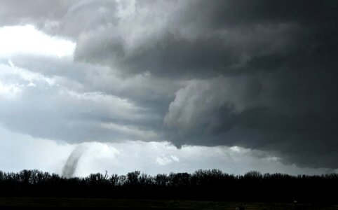
Yesterday was a real bummer with a lot of gustnadoes however there were a couple legit tornadoes. The first was near Banner
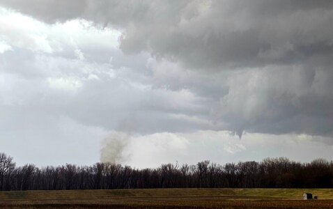
1.jpg
2.jpg
There was another near Bloomington that was a surprise ... here's a crap photo of but Stephen Jones has decent video of it. I still need to get home and get mine reviewed and uploaded.
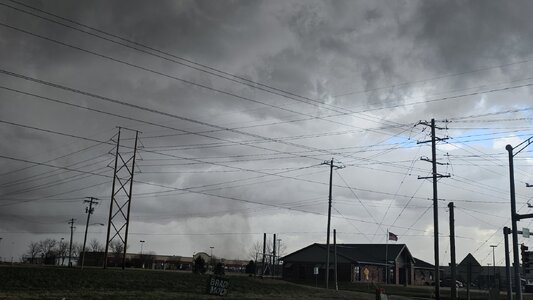
3.jpg
Overall quite an underwhelming day.
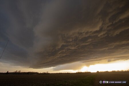
 
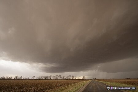
I left just after 1PM and headed to Effingham, IL as convection grew into thunderstorms in the St. Louis metro. These storms would need time to organize and would be moving very fast (as with the event on the 14th), so I wanted to stay well ahead of them. I eventually moved north to Charleston to position for a couple of new storms that looked promising. These coalesced into a single large updraft over Charleston with what first appeared to be a developing RFD cut. The New Mexico/Texas dirt was still thick enough to give the entire storm structure a brownish tint:

march1925c.jpg

This was tornado-warned minutes afterward, but I did not see any evidence of a low-level meso. With this storm racing away quickly, I moved east through Paris to position in front of the next cell in the line at Terre Haute. As is the case with super-fast moving storms, this one beat me there thanks to my road not continuing due east across the Wabash River, forcing a long southward jog into north Terre Haute. I had to let this storm go and focus on getting ahead of the third cell in the line which was heading straight for downtown Terre Haute.

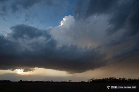
I wasn't going to beat the storm to I-70, so I turned east on Route 40 to stay ahead. Alas, several long traffic lights bogged me down and allowed the storm to overtake me on the east side of the city. The storm was bowing out eastward in a configuration that I had no hope of getting out ahead of, so I gave up on it and headed south for the next band of activity. This was far enough to the southwest that I had plenty of time to intercept it in Farmersburg. I arrived to find a "whale's mouth" gust front leading the tail-end supercell (visible here in the distance), meaning tornado potential was zero.

march1925e.jpg

The supercell trailing the gust front:

march1925f.jpg

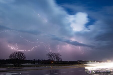
With that, the tornado part of the chase was done. I got back on I-70 west to head home. I went through one more line of severe storms at dusk that covered the interstate with hail for about 10 minutes. I stopped at Martinsville for a few minutes to shoot some stills and high speed video of the lightning in the storms to the east as they moved away:

march1925h.jpg

More photos on my chase log page:

 
Last edited:
Back
Top