2024-06-15 REPORTS: NE

Joined
Mar 30, 2008
Messages
1,438
Location
Norman, OK
Storm I was on in S Central Neb shelfed out pretty quickly. I gave up at Lincoln. Realized there was no reasonable hotel rooms in Eastern Neb (college world series I guess?) so I gave up and heading home.

Congrats to those that were on the NE Neb stuff
 
Started out on what would become the "hurricane" near Hebron/Fairbury, but stayed to its N, and as soon as the outflow was obviously prohibitive I blasted up to the northern target. I agree that there wasn't much obvious to favor the N target until the event was underway and the storm mode on radar looked so jarringly different -- for example, T/Td spreads were quite similar IIRC, with values like 83/71 around Hebron vs. 80/68 up by Norfolk.

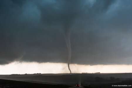
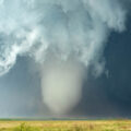
Much to my surprise (the 1-1.5 hr drive north felt mostly like an obligation at the time), I managed to arrive just in time for tornadogenesis near Clarkson, which I watched from a few miles to the NE. Got some pretty solid footage as it passed 1-2 mi. to my S, although I would've preferred a less rainy position -- but not sure I could've done much better without risking some gnarly mud roads.

DSC_2905.jpg

It was only after I dropped the storm that I became aware of the hotel cluster*** across eastern NE due to the CWS that Ben mentioned... ugh. I hope everyone paying these prices scored something decent today!
 
Targeted the east-west segment of the OFB near Kansas City for what turned out to be the long shot, the only target that was close enough to do on a day trip. Saw a bunch of orphan anvils. At least I got home at 9pm.

june1524b.jpg


Blog writeup: June 2024 Storm Chasing Recap
 
Tried not to make a huge deal about storms Saturday afternoon (going to the grocery store) but saw a small MCV on satellite image rolling in from western Nebraska in the morning and then again in the afternoon. This helped provide circulation for storms that formed near Norfolk, NE (IMO.)
Felt very warm and humid like a tornado day should. ;) (In a late April and an early May chase, Pratt, KS felt too cool.)
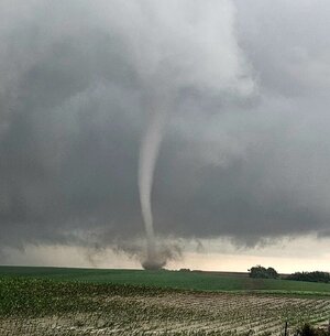
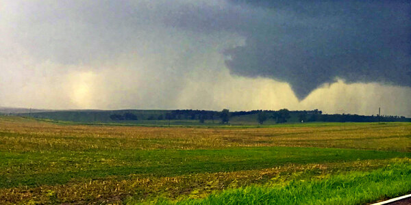
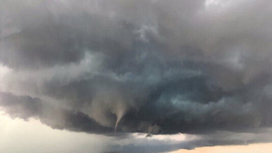
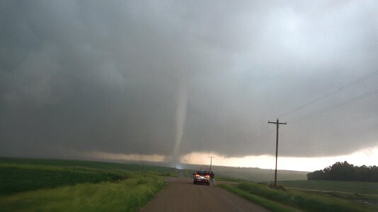
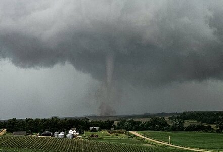
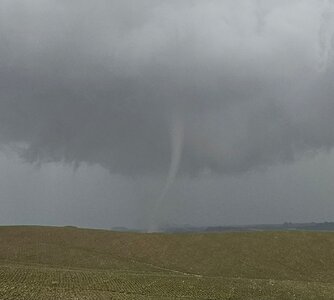
Didn't bring "real" cameras and was driving the "good" car that I didn't want to get hailed on. After the first tornado warning of the day, I out-flanked the view-blocking rain southwest of Norfolk by heading 22 miles south to Madison, then west on Highway 32 to get to the southern sides of the thunderstorms between Newman Grove and Battle Creek. Viewed from 539th Ave, tornado northwest of Emerick...IMG_1196C.jpgSuch slow movement! Warning said 20 mph; seemed much less. Ground-scraping & rotating wall clouds, lots of funnels, & tornados reported. White funnel touched down later. Chase partner snapped phone pics on the 250-mile round trip. A good day not too far from home...IMG_20240615_182503b.jpg
 
Last edited:
I want to mention that SPC noticed the Mesoscale Convective Vortices in their 7:00 a.m. Day One: "At least one MCV is evident across the Siouxland vicinity early this morning, with an additional MCV across west-central Nebraska." And in the future, I will bring my good cameras.
 
Last edited:
Back
Top