gdlewen
EF4
We got a late start while waiting for an appliance delivery, and storms were underway W of OKC by the time we hit the road. Nevertheless, coming from Tulsa, this was more or less a local chase, and I felt certain we could intercept one of the cells streaming NE with plenty of time. We headed W on US Highway 412, exiting to head S on OK 18. I wanted to stay out of the hilly terrain descending into the Cimarron River valley, having made that mistake the last time I chased here. We settled in on the top of a hill about 5mi E of Stillwater on OK 51.
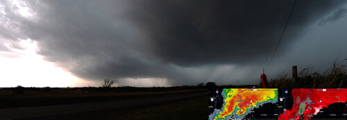
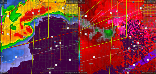
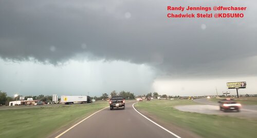
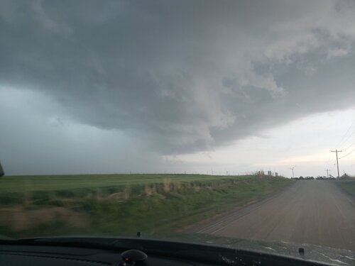
In retrospect, I think we had time to get closer by heading into Stillwater, and then south towards Perkins on OK 177, but I haven’t yet acquired a good feel for estimating my car-cell-relative motion. Until I do, I will have to err on the side of caution. Still, we had a great view to the SW, and only had to wait about 10-15 minutes to get good pictures. The first uploaded image is the situation when we stopped (~1915 CST); our position is indicated by the white dots E of Stillwater.
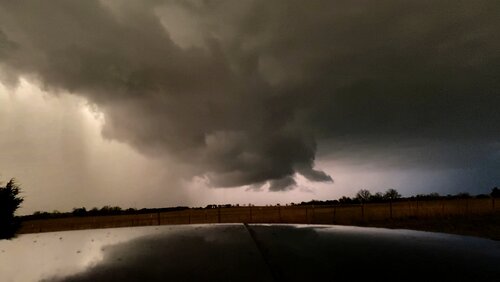
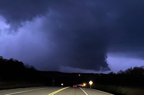
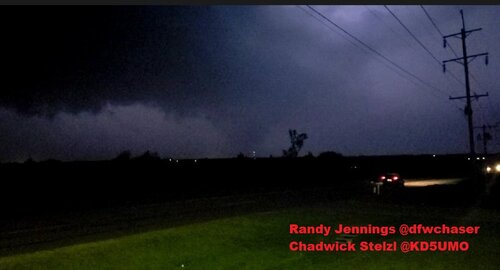
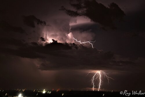
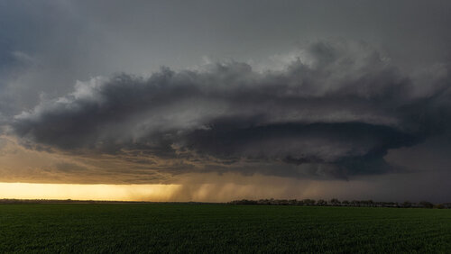
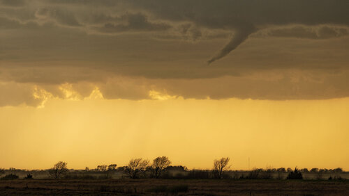
We were too close to the cell’s front flank and had to suffer through brief periods of light rain, but for the most part it was quiet. By 1930 CST, the mesocyclone was close enough for decent photography (Image 2.) The bowl-shaped cloud nearly overhead in the picture was really more elongated, and I am pretty sure we were sitting under the shelf cloud at this point. Not long after this we relocated to (1) get further away from the front flank, and (2) closer to the mesocyclone, heading south on OK 108 towards Ripley. We got a good view (~1937 CST, Image 3) before the rain chased us N. (Our location is halfway between OK 51 and Ripley.)
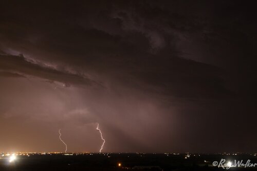
After this, we really couldn’t get good position on the cell, probably because it wasn't clear which roads leading N from OK 18 would be optimal. But also because at this point KOKC radar showed weak midlevel rotation, and KINX showed even an weaker rotational signature. However, just E of Yale, we got to watch the formation of a new wall cloud to the north, as what appeared to be scud in advance of the rain curtain (2010 CST, Image 4) quickly organized into a non-rotating wall cloud (2017 CST, Image 5.) At this point we are heading N on OK 99 and it is almost too dark to see. KINX radar showed convergence at this point, which developed into rotation within a few minutes (not shown.) At this point it was too dark to see and we effectively lost contact with the wall cloud, and headed home. No tornadoes, but my goal in chasing is to learn to correlate a storm’s structure as measured by radar with what I see from the ground, so tornadoes are a bonus.


