Ethan Schisler
EF5
Was actually going to chase South Central Iowa today, but I didn't like a lot of what I saw and didn't feel it warranted a 3 hour drive. So to my surprise the sun came out for much of the day despite being north of the warm front. This helped in the afternoon to modify the front northward a bit and it got pretty humid, so I spent the afternoon in our pool and watched radar and surface observations. I decided around 5 or so to get out and get my cameras together and at least get out into the country as a supercell was organizing over Southeast Iowa. So off I went headed northwest out of Macomb.
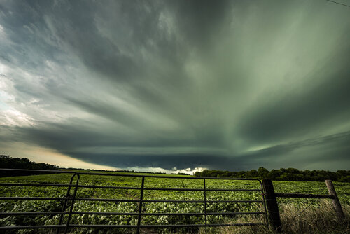
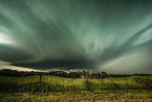
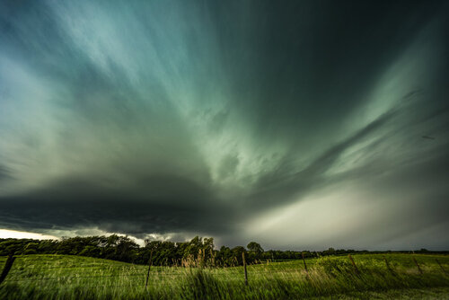
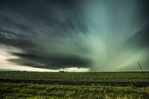
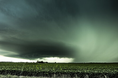
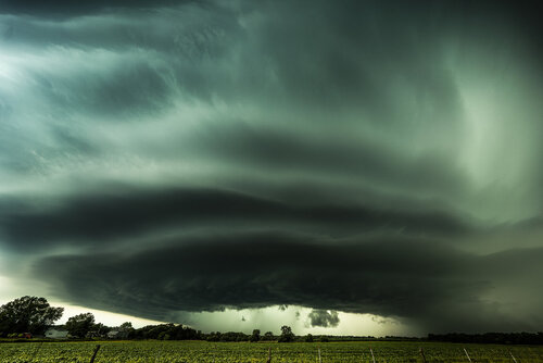
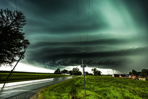
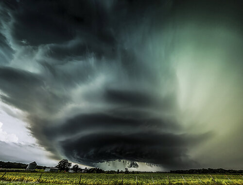
In my mind the main threat today was always significant hail and significant wind. I thought we were a bit too stable for tornadoes, but then again things happen, so you can't rule it out and the storm had a decent couplet for a while. When I finally got on it, it was warned for nearly baseball sized hail and 70 mph winds. The structure blew me away, was one of the best structured supercells I've seen in my backyard. I felt like I was in Nebraska or South Dakota for a bit here
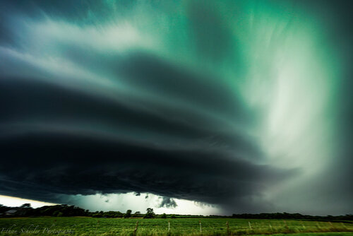
This was shot at 12mm on my Sony A7RIII and is one of numerous I got, I actually made.a panoramic here of the inflow tail extending way to the right and then clear skies off to the southeast with a rock solid updraft. I haven't finished that yet though as I had some work to take care of tonight after chasing.
I continued to follow it south dodging periods of golf ball and larger hail that was falling well out ahead of the storm.
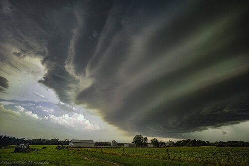
I followed it south of 136 where the structure started to get more muddled but was still good. However the rotation picked up and so did the wind. I experienced a 20 minute period of probably 70+ mph winds in some really really bad terrain and was worried about trees falling onto my car. The storm had rapid rotating rain curtains as well, so I was concerned about potentially driving into a rainwrapped tornado. Especially since my data dropped off in this area. I got ahead of the storm near Plymouth and accepted defeat and rode it out experiencing golf ball to baseball size hail and severe winds. I saw several vehicles lose their windshields. I luckily found shelter, so aside from a few new dents, I got away pretty good.
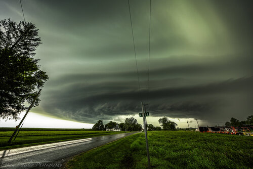
I may add more photos to this report thread, this is all I've gotten done so far as I'm working on video now. Certainly a day I will never forget just 25 miles from home.
In my mind the main threat today was always significant hail and significant wind. I thought we were a bit too stable for tornadoes, but then again things happen, so you can't rule it out and the storm had a decent couplet for a while. When I finally got on it, it was warned for nearly baseball sized hail and 70 mph winds. The structure blew me away, was one of the best structured supercells I've seen in my backyard. I felt like I was in Nebraska or South Dakota for a bit here

This was shot at 12mm on my Sony A7RIII and is one of numerous I got, I actually made.a panoramic here of the inflow tail extending way to the right and then clear skies off to the southeast with a rock solid updraft. I haven't finished that yet though as I had some work to take care of tonight after chasing.
I continued to follow it south dodging periods of golf ball and larger hail that was falling well out ahead of the storm.

I followed it south of 136 where the structure started to get more muddled but was still good. However the rotation picked up and so did the wind. I experienced a 20 minute period of probably 70+ mph winds in some really really bad terrain and was worried about trees falling onto my car. The storm had rapid rotating rain curtains as well, so I was concerned about potentially driving into a rainwrapped tornado. Especially since my data dropped off in this area. I got ahead of the storm near Plymouth and accepted defeat and rode it out experiencing golf ball to baseball size hail and severe winds. I saw several vehicles lose their windshields. I luckily found shelter, so aside from a few new dents, I got away pretty good.

I may add more photos to this report thread, this is all I've gotten done so far as I'm working on video now. Certainly a day I will never forget just 25 miles from home.

