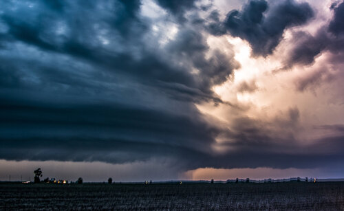
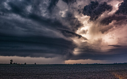
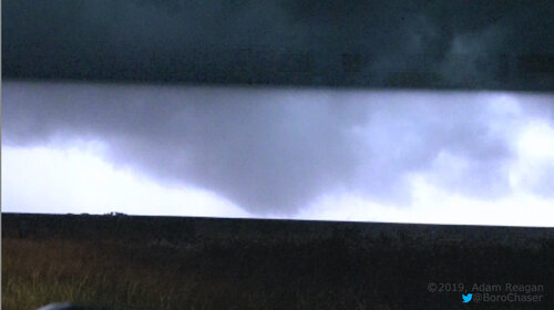
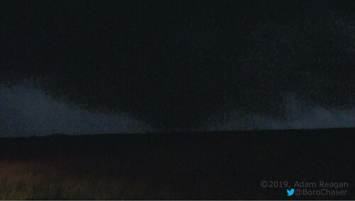
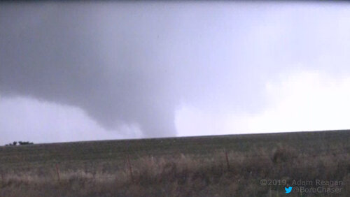
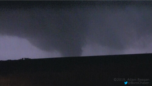
Good day all, Here is my report for storms for June 15, 2019...
Chase Summary: June 15 was another chase day with relatively low prospects considering the overall setup but wound up being quite a productive day with a large tornado observed in west-central Oklahoma just after dark. I forecasted and found a very complex scenario with several target areas, the best one being with a stalled front / boundary over west-central to north-central Oklahoma. The SPC had this area in an enhanced risk outlook on the 13z and 1630z, the latter with a 2% tornado, 15% hail, and 30% significant wind threat. I left Dodge City and headed east on Highway 400 for lunch in Greensburg, Kansas, then south on Highway 183 into Oklahoma and stopped in Woodward via SR 50 off Highway 64. I chatted with Bill Reid and Jesse Risley before heading east on Highway 412 to SR 8 and Highway 64 back northeast to kills some time at the Twister Museum in Wakita. I met up with Dan Shaw and a few others and proceeded south on Highway 60 to Enid for a quick dinner there. Initiation was late, and the SPC had Mesoscale Discussion 1080 and issued severe thunderstorm watch box 361 for our area and points southwest. We left Enid west on Highway 60 to Ringwood, checking out an initial LP supercell that did not last long, and south on SR 58 / 8 to near Canton, Oklahoma. Continuing south and west to SR 33, the tail end supercell storm was reached near Thomas and Custer City near SR 47 and east of Highway 183. A large wedge / truncated cone tornado was observed with this powerful HP supercell after dark. I continued south to SR 33 and Highway 183 south into Clinton, assisting with a vehicle fire and trapped victims off I-40 westbound in Clinton. I spent the night in Clinton, Oklahoma.
Storm Interception Details Are Below
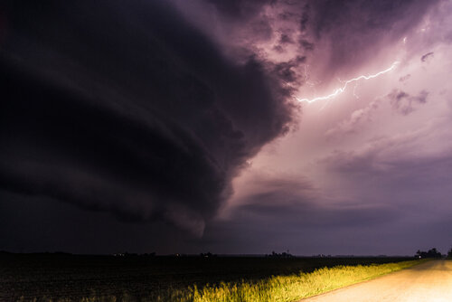
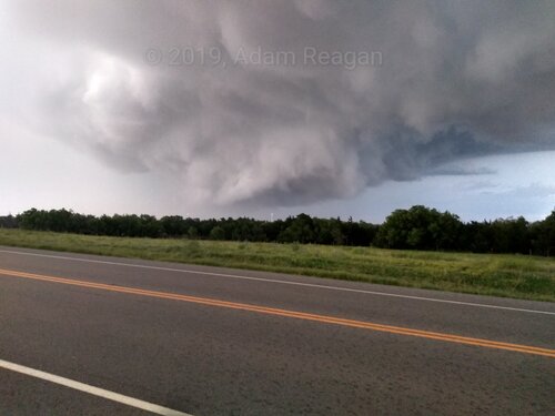
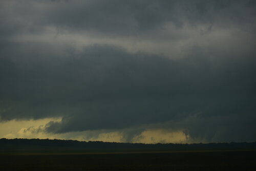
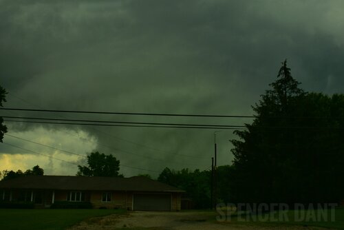
June 15, 8:30 PM - Interception, indirect penetration, and observation of a very severe and tornadic thunderstorm over Custer County, Oklahoma near SR 47 west of Highway 183 and near SR 33 and Custer City (35 miles north of Clinton). The storm was a powerful HP supercell storm, developing on the south side of a cluster of strong and severe thunderstorms. After a storm split earlier north of Putnam, the southern supercell turned right and became the dominant "tail-end Charley" storm. This supercell was classic to HP, and contained large hail, extremely heavy rains, and frequent lightning. A large tornado (cone to wedge) was observed with this storm looking northwest from near Custer City in twilight, illuminated by lightning. The tornado did damage south of Putnam and was confirmed. The supercell also had a striking visual appearance, with striations and a "stacked plates" / "space ship" effect. The core was not directly penetrated, but the south side and wet RFD area was encountered with winds gusting over 80 MPH. The storm evolved to an intense bow / line segment (upscale growth) and produced winds over 90 MPH in Clinton, Oklahoma. I stopped to assist in a near fatal accident with people trapped in a burning car at the intersection of Highway 183 and I-40 passing into Clinton. The most dangerous part of the storm missed Clinton to the north. Conditions causing the storm were surface heating, a stationary frontal / outflow boundary, dryline to the far west, a weak low pressure area, and an upper trough. Documentation was digital stills and audio. A 2016 Jeep Wrangler was used to chase the storm. A severe thunderstorm watch was also in effect for the area until 10 PM CDT.
Pictures For June 15, 2019 Are Below
 Above:
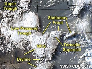
 This is an annotated visible satellite image of the synoptic environment as of 23z on June 15, 2019. The annotation points out very important features, such as a stationary frontal boundary over northern Oklahoma and a dryline / trough over the Texas Panhandle. The tornadic supercell storm I was on is also shown developing in this image.
 Above:
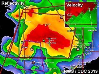
 Base reflectivity radar image of a powerful tornadic HP supercell storm 25 miles north of Clinton, Oklahoma near Putnam and in Custer County near dark on June 15. This storm produced a large tornado at the time, and the impressive Doppler velocity of the storm is shown in the upper-right inset.
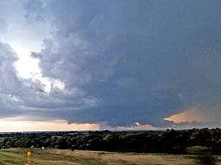 Above:
 First view of the "tail-end" supercell to the north of Putnam, Oklahoma late on June 15. This is the "classic" mode of this storm before evolving to HP (high precipitation) mode and is already tornado-warned at this time.
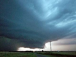 Above:
 View looking north at the main updraft and HP storm mesocyclone after dusk on June 15 in Custer County, OK.
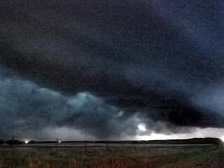 Above:
 Large truncated wedge / cone tornado illuminated by lightning appears in the lower left of this picture taken west of Custer City, Oklahoma after dark on June 15. The view is to the northwest towards Putnam.
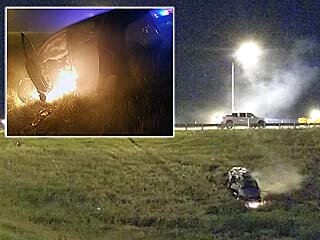 Above:
 A nearly deadly accident occurred at the intersection of Highway 183 and I-40 in Clinton, Oklahoma with a mangled vehicle on fire with the tornadic storm grazing the area to the north. EMS and myself managed to drag the woman and her two children out of the vehicle before fire consumed it.
Note: For DETAILS on this storm / setup as well as others in June 2019 … Please visit the link BELOW for more information!
